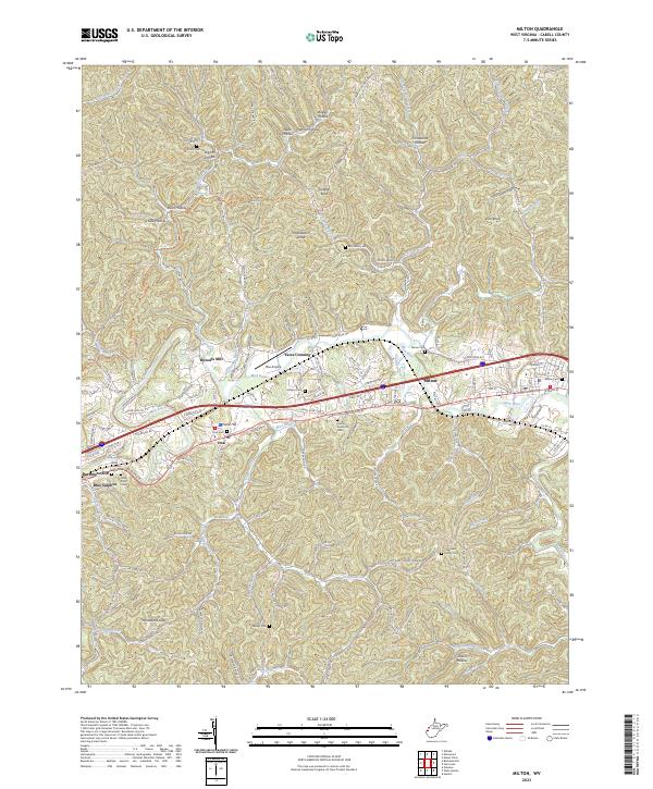
2023 Map of Milton
USGS Topo · Published 2023About this map
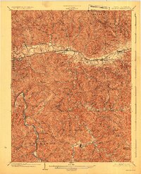
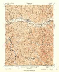
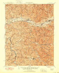
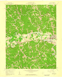
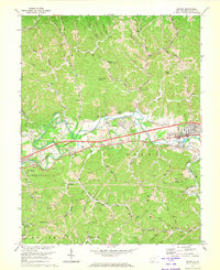
The Mud River carves a central path through this landscape, defining the corridor for settlements like Milton, Ona, and Barboursville. This 2023 survey illustrates the modern layout of the river valley, where historical transport routes and contemporary infrastructure intersect at Yates Crossing and Howells Mill. The terrain is characterized by a dense network of ridges and hollows, such as Grindstone Hollow and Webb Hollow, which surround the valley floor and separate small communities like Poore Hill and Blue Sulphur.
Find a feature on this map
150 named features on this map. Tap any name to fly to it.
Don’t see what you’re looking for? This feature index may not catch every label — zoom into the map to look around manually.
Map Details
Editions of this 2023 Milton Map
This is the sole edition of this map. No revisions or reprints were ever made.
Historical Maps of Howells Mill Through Time
6 maps found