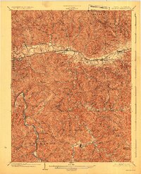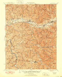
1935 Map of Milton
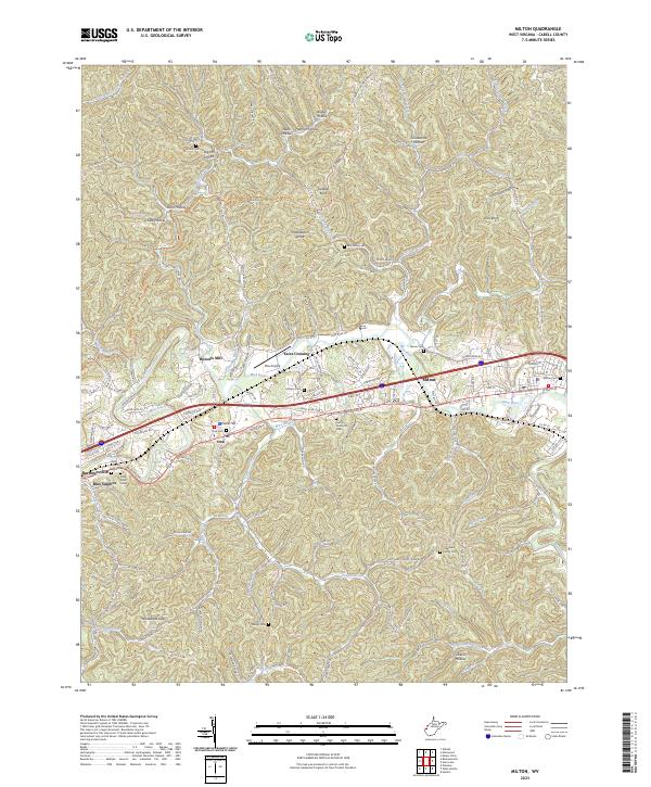
USGS Topo · Published 1950About this map
The Mud River and Guyandot River valleys anchor this mid-century view of Cabell and Lincoln counties. The Chesapeake and Ohio RR corridor serves as the primary artery of development, connecting settlements like Milton, Culloden, and Hurricane. The map reveals a deeply etched landscape where narrow hollows and ridges dictated the placement of dozens of one-room schoolhouses and rural churches. Genealogists can find localized community hubs such as Skyhigh Sch, Bethesda Ch, and Hebron Ch tucked away in the terrain far from the main rail line.
Find a feature on this map
186 named features on this map. Tap any name to fly to it.
Don’t see what you’re looking for? This feature index may not catch every label — zoom into the map to look around manually.
Map Details
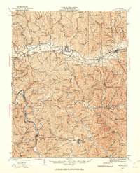
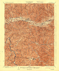
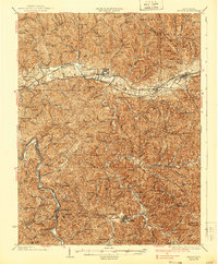
Editions of this 1935 Milton Map
3 editions found
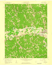
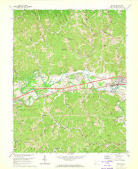
Historical Maps of Hurricane Through Time
6 maps found