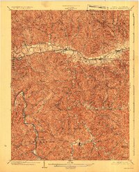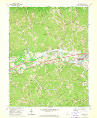
1972 Map of Milton
USGS Topo · Published 1973About this map
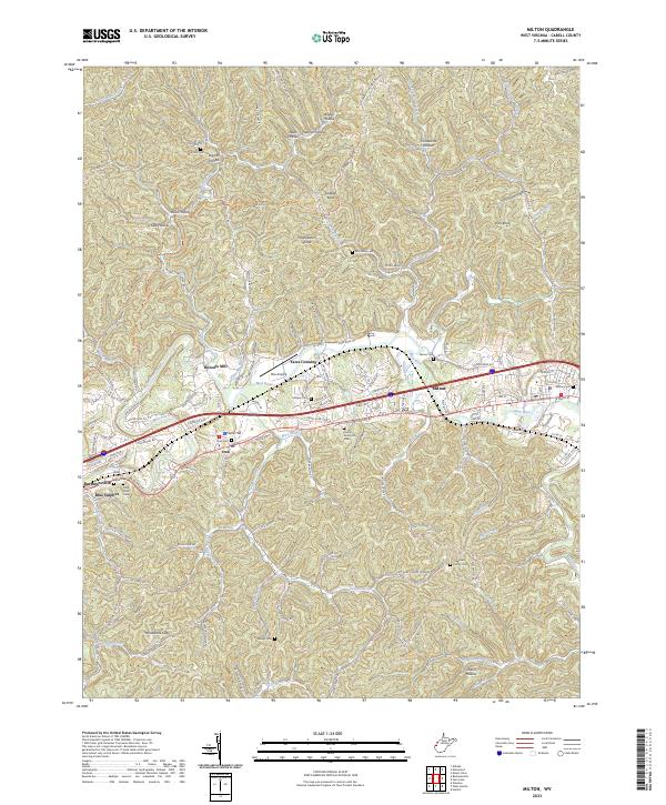
The Mud River winds through the hills of Cabell County, anchoring a landscape defined by its river-and-rail infrastructure in the early 1970s. The Chesapeake and Ohio Railroad runs parallel to the river, connecting the settlements of Ona and Milton. This area shows a transition from historical river-bottom industry, represented by Howells Mill, to modern utility networks, evidenced by several major pipelines and numerous gas wells scattered across the southern ridges. The social fabric of the era is preserved through its many country churches, including Bethesda Ch and Beulah Chapel, alongside local landmarks like Camp Arrowhead and the Forest Memorial Park cemetery. Steep topography rises sharply from the riverbanks to named peaks such as Gobbler Knob and Rich Knob, while Horsebone Gap provides a natural passage through the southern high ground.
Find a feature on this map
53 named features on this map. Tap any name to fly to it.
Don’t see what you’re looking for? This feature index may not catch every label — zoom into the map to look around manually.
Map Details
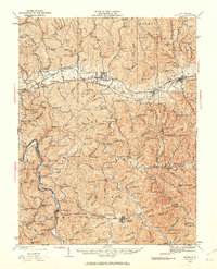
Editions of this 1972 Milton Map
This is the sole edition of this map. No revisions or reprints were ever made.
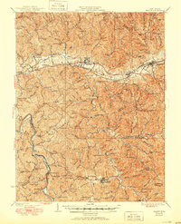
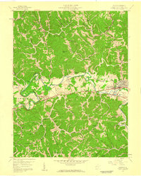
Historical Maps of Milton Through Time
6 maps found