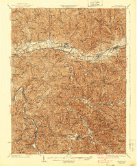
1935 Map of Milton
USGS Topo · Published 1939About this map
The Mud River valley serves as the central artery for this 1930s landscape, carrying the Chesapeake and Ohio RR and connecting the growing settlements of Milton, Culloden, and Hurricane. The map reveals a dense network of upland hollows and ridges, where the distribution of one-room schoolhouses like Newman Sch and Malcom Sch reflects a rural social structure tied to the terrain. Along the Guyandot River, smaller communities such as Salt Rock, West Hamlin, and the county seat at Hamlin anchor the southwestern portion of the quadrangle.
Find a feature on this map
161 named features on this map. Tap any name to fly to it.
Don’t see what you’re looking for? This feature index may not catch every label — zoom into the map to look around manually.
Map Details
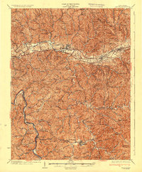
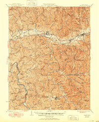
Editions of this 1935 Milton Map
3 editions found
Other maps of this area

1892 · Huntington
USGS Topo · 1:125,000

1898 · Huntington
USGS Topo · 1:125,000

1899 · Charleston
USGS Topo · 1:125,000

1901 · Guyandot
USGS Topo · 1:62,500

1902 · Guyandot
USGS Topo · 1:62,500

1902 · Milton
USGS Topo · 1:62,500

1902 · Midkiff
USGS Topo · 1:62,500

1906 · Athalia
USGS Topo · 1:62,500

1906 · Glenwood
USGS Topo · 1:62,500

1906 · Winfield
USGS Topo · 1:62,500