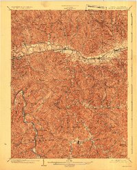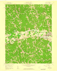
1958 Map of Milton
USGS Topo · Published 1959About this map
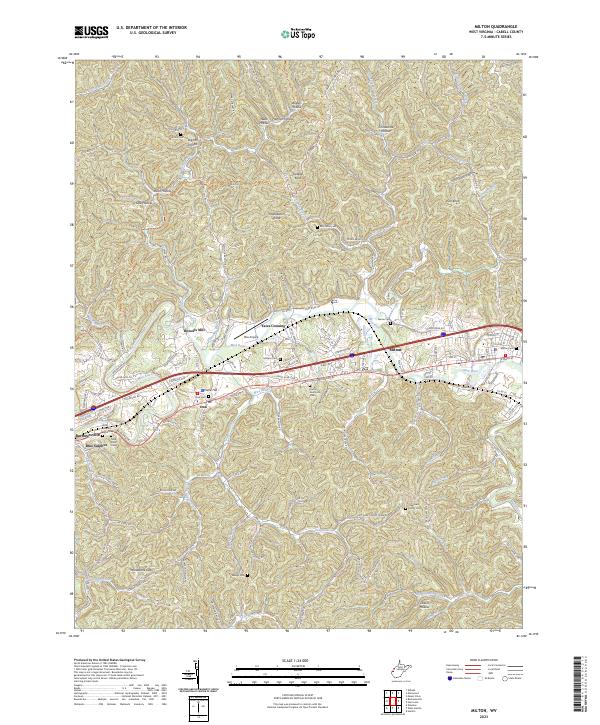
The Mud River winds through the heart of the Cabell County countryside, anchoring a landscape where small settlements and rural institutions define the valley. The town of Milton serves as a primary hub along the Chesapeake and Ohio railroad and the historic Midland Trail, while smaller localities like Howells Mill and Yates Crossing reflect the river-oriented development of the mid-20th century. The terrain is characterized by numerous knobs and ridges, such as Gobbler Knob and Rich Knob, which separate the many forks and branches feeding into the main river channel.
Find a feature on this map
52 named features on this map. Tap any name to fly to it.
Don’t see what you’re looking for? This feature index may not catch every label — zoom into the map to look around manually.
Map Details
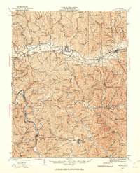
Editions of this 1958 Milton Map
This is the sole edition of this map. No revisions or reprints were ever made.
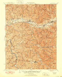
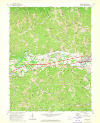
Historical Maps of Milton Through Time
6 maps found