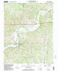
2022 Map of Milton
USGS Topo · Published 2022About this map
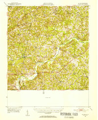
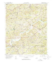
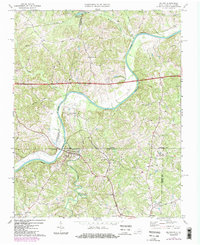
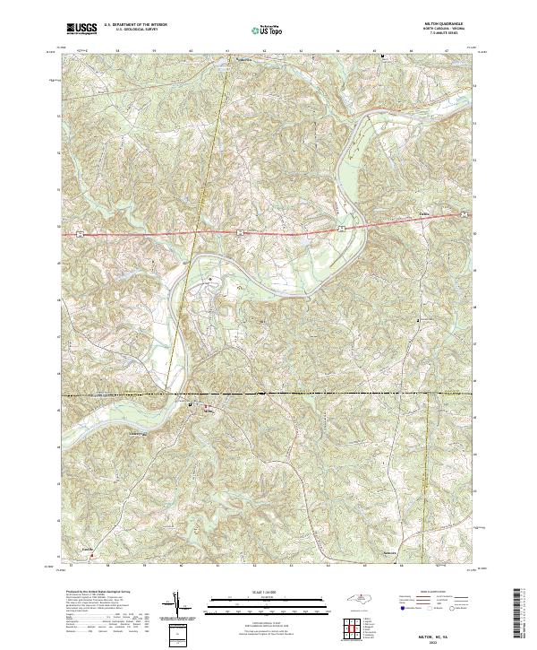
The Dan River snakes through the heart of this region, defining the transition between Pittsylvania and Halifax counties in Virginia and Caswell County in North Carolina. This landscape is characterized by a dense network of country roads and historical pathways like the Tobacco Heritage Trl, which reflects the agricultural legacy of the borderlands. The settlement of Milton serves as a focal point near the river's bend, where local geography is shaped by the confluence of Country Line Creek and smaller tributaries like Brandon Cr.
Find a feature on this map
81 named features on this map. Tap any name to fly to it.
Don’t see what you’re looking for? This feature index may not catch every label — zoom into the map to look around manually.
Map Details
Editions of this 2022 Milton Map
This is the sole edition of this map. No revisions or reprints were ever made.
Historical Maps of Yanceyville Through Time
5 maps found