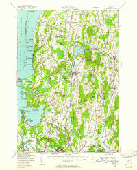
1948 Map of Milton
USGS Topo · Published 1961About this map
Fort Ethan Allen and its military reservation anchor the southern portion of this landscape, reflecting the post-war strategic geography of Chittenden County. To the north, the Lamoille River winds through the valley, feeding into Champlain Lake near the Sand Bar State Park and the Wildlife Refuge. The map reveals a high density of rural institutions, including Bellows Academy and numerous numbered schoolhouses like School No 8 and School No 4, which were the social pillars for communities in Georgia Center and Westford.
Find a feature on this map
112 named features on this map. Tap any name to fly to it.
Don’t see what you’re looking for? This feature index may not catch every label — zoom into the map to look around manually.
Map Details
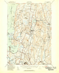
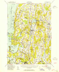
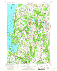
Editions of this 1948 Milton Map
4 editions found
Other maps of this area

1894 · Plattsburg
USGS Topo · 1:62,500

1895 · Rouse Point
USGS Topo · 1:62,500

1895 · Willsboro
USGS Topo · 1:62,500

1906 · Plattsburg
USGS Topo · 1:62,500

1906 · Burlington
USGS Topo · 1:62,500

1907 · Rouse Point
USGS Topo · 1:62,500

1913 · Milton
USGS Topo · 1:48,000

1914 · St. Albans
USGS Topo · 1:48,000

1915 · Milton
USGS Topo · 1:62,500

1916 · St. Albans
USGS Topo · 1:62,500