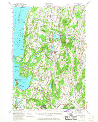
1948 Map of Milton
USGS Topo · Published 1968About this map
The Lamoille River winds through the heart of this Vermont landscape, its waters captured at Arrowhead Mountain Lake before reaching the shores of Lake Champlain. The map illustrates a mid-century period of recreation and established agricultural communities, with numerous seasonal camps like Camp Norfleet and Camp Rich dotting the coastline of Malletts Bay and Great Back Bay.
Find a feature on this map
104 named features on this map. Tap any name to fly to it.
Don’t see what you’re looking for? This feature index may not catch every label — zoom into the map to look around manually.
Map Details
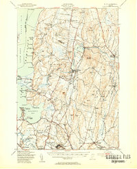
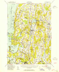
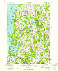
Editions of this 1948 Milton Map
4 editions found
Other maps of this area

1894 · Plattsburg
USGS Topo · 1:62,500

1895 · Rouse Point
USGS Topo · 1:62,500

1895 · Willsboro
USGS Topo · 1:62,500

1906 · Plattsburg
USGS Topo · 1:62,500

1906 · Burlington
USGS Topo · 1:62,500

1907 · Rouse Point
USGS Topo · 1:62,500

1913 · Milton
USGS Topo · 1:48,000

1914 · St. Albans
USGS Topo · 1:48,000

1915 · Milton
USGS Topo · 1:62,500

1916 · St. Albans
USGS Topo · 1:62,500