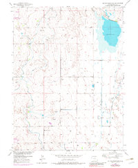
1950 Map of Milton Reservoir
USGS Topo · Published 1983About this map
Milton Reservoir anchors this Colorado landscape, reflecting the intensive water management required for agriculture in Weld County during the mid-twentieth century. The intricate web of irrigation is visible through numerous named waterways, including the Beebe Seep Canal, West Speer Canal, and the Platteville Lateral. These man-made features illustrate the transformation of the plains into a managed hydraulic environment.
Find a feature on this map
13 named features on this map. Tap any name to fly to it.
Don’t see what you’re looking for? This feature index may not catch every label — zoom into the map to look around manually.
Map Details
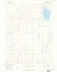
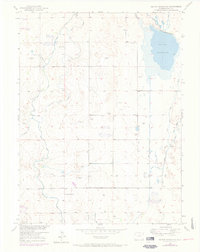
Editions of this 1950 Milton Reservoir Map
3 editions found
Other maps of this area

1902 · Greeley
USGS Topo · 1:125,000

1949 · Fort Lupton
USGS Topo · 1:24,000

1949 · Platteville
USGS Topo · 1:24,000

1949 · Hudson
USGS Topo · 1:24,000

1950 · Platteville
USGS Topo · 1:24,000
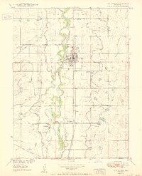
1950 · Fort Lupton
USGS Topo · 1:24,000

1950 · Keenesburg
USGS Topo · 1:24,000

1950 · Milliken
USGS Topo · 1:24,000

1950 · Klug Ranch
USGS Topo · 1:24,000

1950 · Valley View School
USGS Topo · 1:24,000