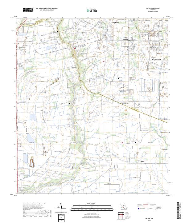
2024 Map of Milton
USGS Topo · Published 2024About this map
The Vermilion River carves a winding path through this corner of Acadiana, marking a significant portion of the boundary between Lafayette Parish and Vermilion Parish. The landscape is a complex network of natural drainage and engineered waterways, including Anselm Coulee, Coulee Kenny, and the Steiner Canal. This 2024 survey reflects the modern growth around Youngsville and Milton, while preserving the locations of numerous family-named landmarks and burial grounds. For genealogists and local historians, the concentration of cemeteries is remarkable, ranging from the Saint Joseph's Catholic Cem in the north to the Catholic Cem near Charon in the south. These sites, along with Broussard Cem and Woodlawn Cem, provide essential anchor points for tracing the lineage of the area's residents amidst the evolving residential developments.
Find a feature on this map
109 named features on this map. Tap any name to fly to it.
Don’t see what you’re looking for? This feature index may not catch every label — zoom into the map to look around manually.
Map Details
Editions of this 2024 Milton Map
This is the sole edition of this map. No revisions or reprints were ever made.
Other maps of this area

1932 · Abbeville NE
USGS Topo · 1:31,680

1932 · Abbeville NW
USGS Topo · 1:31,680

1934 · Duson
USGS Topo · 1:31,680

1937 · Derouen
USGS Topo · 1:62,500

1939 · St. Martinsville
USGS Topo · 1:62,500

1945 · New Orleans
USGS Topo · 1:250,000

1946 · Milton
USGS Topo · 1:31,680

1946 · Leroy
USGS Topo · 1:31,680

1946 · Lafayette
USGS Topo · 1:31,680

1952 · Lake Charles
USGS Topo · 1:250,000