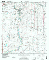
1998 Map of Milton
USGS Topo · Published 2000About this map
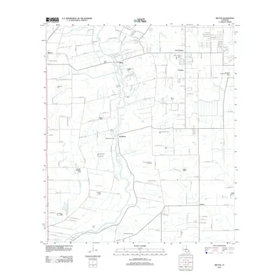
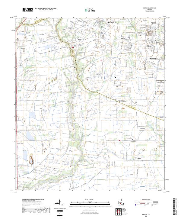
The Vermilion River carves a winding path through this low-lying landscape, serving as a natural boundary between Lafayette Parish and Vermilion Parish. The town of Milton sits prominently at a bend in the river, surrounded by a complex system of water management features including the Main Canal, numerous siphons, and a Flume. This hydraulic infrastructure, coupled with an extensive network of levees, illustrates the region's historical reliance on managed water for agriculture and flood control.
Find a feature on this map
33 named features on this map. Tap any name to fly to it.
Don’t see what you’re looking for? This feature index may not catch every label — zoom into the map to look around manually.
Map Details
Editions of this 1998 Milton Map
This is the sole edition of this map. No revisions or reprints were ever made.
Historical Maps of Lafayette Through Time
10 maps found

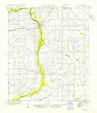
1946 Milton
Lafayette Parish, LA
1954 Milton
Lafayette Parish, LA
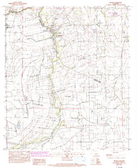
1983 Milton
Lafayette Parish, LA
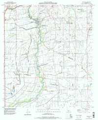
1994 Milton
Lafayette Parish, LA
1998 Milton
Lafayette Parish, LA
2012 Milton
Lafayette Parish, LA
2015 Milton
Lafayette Parish, LA
2018 Milton
Lafayette Parish, LA
2020 Milton
Lafayette Parish, LA
2024 Milton
Lafayette Parish, LA