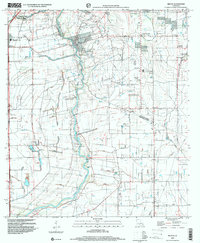
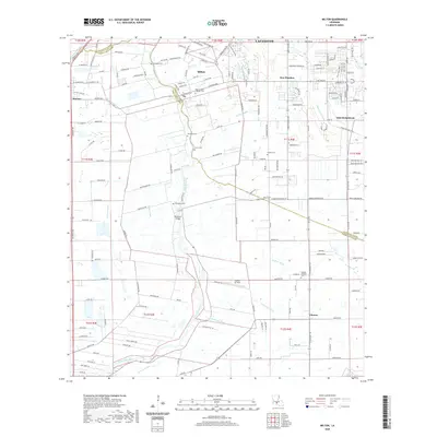
1983 Map of Milton
USGS Topo · Published 1993About this map
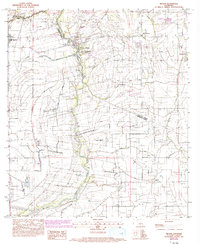
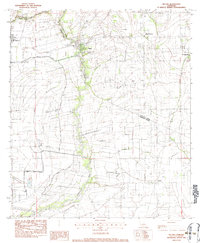
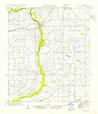
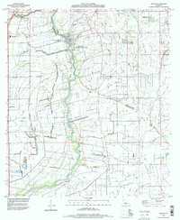
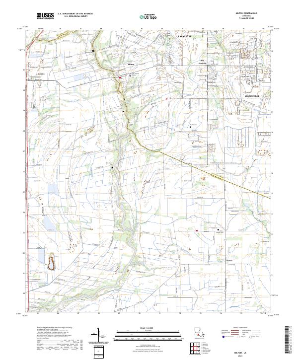
The Vermilion River snakes southward through this landscape, carving a boundary between Lafayette Parish and Vermilion Parish. During the early 1980s, the area around Milton and Youngsville maintained a rural character defined by extensive coulees and small, family-associated landmarks. Genealogists will find significant value in the distribution of private burial grounds, including Broussard Cem, Picard Cem, Gallet Cem, and Bodoin Cem, which are scattered among the agricultural fields and drainage networks. The map details a complex system of water management, from natural flows like Anselm Coulee and Bayou Parc Perdu to man-made infrastructure such as Le Blanc Ditch. While Maurice and New Flanders mark emerging residential clusters, much of the terrain remains focused on the river-bottom landscape and the winding course of Darby Coulee.
Find a feature on this map
20 named features on this map. Tap any name to fly to it.
Don’t see what you’re looking for? This feature index may not catch every label — zoom into the map to look around manually.
Map Details
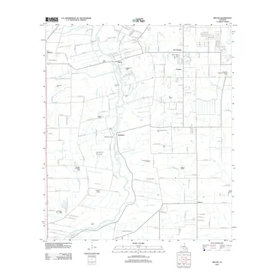
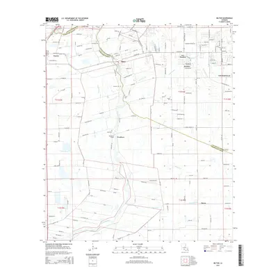
Editions of this 1983 Milton Map
2 editions found
Historical Maps of Lafayette Through Time
10 maps found

1946 Milton
Lafayette Parish, LA
1954 Milton
Lafayette Parish, LA
1983 Milton
Lafayette Parish, LA
1994 Milton
Lafayette Parish, LA
1998 Milton
Lafayette Parish, LA
2012 Milton
Lafayette Parish, LA
2015 Milton
Lafayette Parish, LA
2018 Milton
Lafayette Parish, LA
2020 Milton
Lafayette Parish, LA
2024 Milton
Lafayette Parish, LA