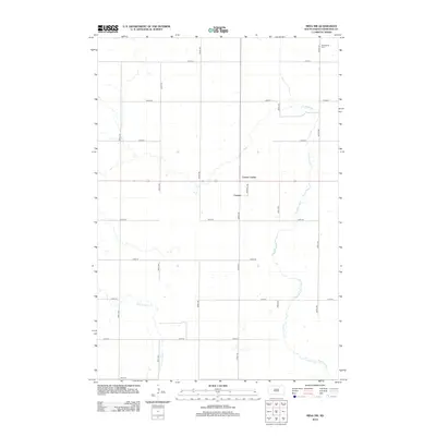
2012 Map of Mina NW
USGS Topo · Published 2012About this map
Strassburg Cem sits in the far northeastern corner of this Edmunds County landscape, marking a quiet point of interest for genealogists and local historians. The area is defined by a rigorous section-line road grid, including 362nd Ave and 131st St, which organizes the high plains terrain between the intermittent flows of Preachers Run and the N Fork Snake Cr. The small community of Craven and the nearby Craven Corner serve as the primary hubs for this agricultural region, situated along a central corridor where Terminal Rd meets the local highway system. This 2012 survey illustrates the enduring rural structure of the South Dakota prairie, where natural drainage patterns like Preachers Run dictate the placement of farmsteads and field boundaries across the open plains.
Find a feature on this map
20 named features on this map. Tap any name to fly to it.
Don’t see what you’re looking for? This feature index may not catch every label — zoom into the map to look around manually.
Map Details
Editions of this 2012 Mina NW Map
This is the sole edition of this map. No revisions or reprints were ever made.
Other maps of this area

1899 · Ellendale
USGS Topo · 1:125,000

1899 · Northville
USGS Topo · 1:125,000

1954 · Aberdeen
USGS Topo · 1:250,000

1956 · Aberdeen
USGS Topo · 1:250,000

1970 · Mina SW
USGS Topo · 1:24,000

1970 · Wetonka South
USGS Topo · 1:24,000

1970 · Mina NW
USGS Topo · 1:24,000
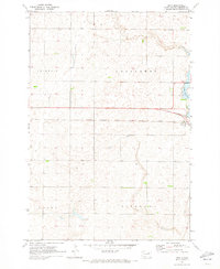
1970 · Mina
USGS Topo · 1:24,000

1970 · Leola SW
USGS Topo · 1:24,000
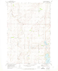
1970 · Mina SE
USGS Topo · 1:24,000