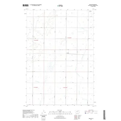
2017 Map of Mina NW
USGS Topo · Published 2017About this map
Craven sits at a central crossroads in this section of Edmunds County, where the grid of sectional roads like 134th St and 363rd Ave defines the agricultural landscape. The prairie terrain is shaped by the winding course of Preachers Run, which flows through the eastern half of the quadrangle, and the N Fork Snake Cr to the south. In the far northeast corner, the New Straasburg Cem provides a specific point of interest for genealogists tracing early families in this rural community. The map also captures the path of Old Hwy 12, showing the evolution of local transit routes alongside more modern county infrastructure like Co Rd 22. This survey reflects a classic Great Plains settlement pattern, where small clusters like Craven served as vital hubs for the surrounding farmsteads.
Find a feature on this map
24 named features on this map. Tap any name to fly to it.
Don’t see what you’re looking for? This feature index may not catch every label — zoom into the map to look around manually.
Map Details
Editions of this 2017 Mina NW Map
This is the sole edition of this map. No revisions or reprints were ever made.
Other maps of this area

1899 · Ellendale
USGS Topo · 1:125,000

1899 · Northville
USGS Topo · 1:125,000

1954 · Aberdeen
USGS Topo · 1:250,000

1956 · Aberdeen
USGS Topo · 1:250,000

1970 · Mina SW
USGS Topo · 1:24,000

1970 · Wetonka South
USGS Topo · 1:24,000

1970 · Mina NW
USGS Topo · 1:24,000
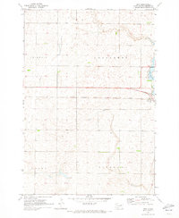
1970 · Mina
USGS Topo · 1:24,000

1970 · Leola SW
USGS Topo · 1:24,000
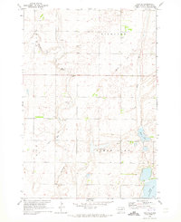
1970 · Mina SE
USGS Topo · 1:24,000