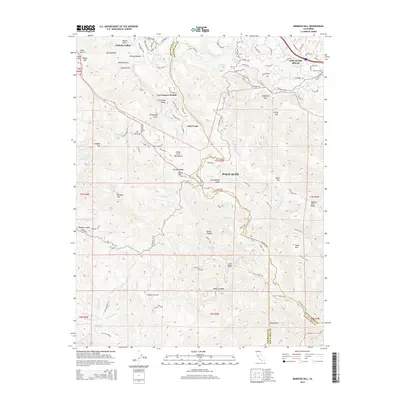
2015 Map of Mindego Hill
USGS Topo · Published 2015About this map
Mindego Hill and the complex terrain of the Santa Cruz Mountains dominate this 2015 study of the Peninsula's western ridges. The transition from the developed suburban fringes of Palo Alto and Los Altos Hills into the preserve lands and rugged open space is sharply defined by the path of the San Andreas Fault, which bisects the quadrangle from northwest to southeast. The map details the network of creeks and gulches, such as Stevens Creek and Corte Madera Creek, that drain these steep slopes.
Find a feature on this map
116 named features on this map. Tap any name to fly to it.
Don’t see what you’re looking for? This feature index may not catch every label — zoom into the map to look around manually.
Map Details
Editions of this 2015 Mindego Hill Map
This is the sole edition of this map. No revisions or reprints were ever made.
Other maps of this area

1897 · Palo Alto
USGS Topo · 1:62,500

1899 · Palo Alto
USGS Topo · 1:62,500

1902 · Santa Cruz
USGS Topo · 1:125,000

1940 · Halfmoon Bay
USGS Topo · 1:62,500

1940 · Ano Nuevo
USGS Topo · 1:62,500

1941 · Ano Nuevo Pt.
USGS Topo · 1:62,500

1941 · Palo Alto
USGS Topo · 1:62,500

1942 · Ano Nuevo
USGS Topo · 1:62,500

1943 · Palo Alto
USGS Topo · 1:62,500

1943 · Halfmoon Bay
USGS Topo · 1:62,500