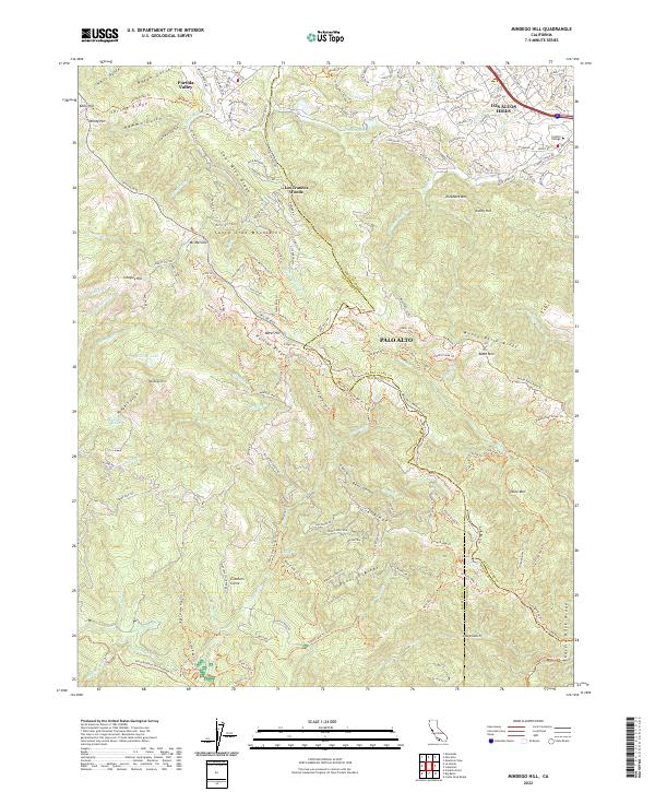
2022 Map of Mindego Hill
USGS Topo · Published 2022About this map
Mindego Hill and the surrounding Santa Cruz Mountains define this high-altitude landscape where the boundaries of San Mateo, Santa Clara, and Santa Cruz counties converge. The terrain is marked by a complex system of ridges and canyons, including Russian Ridge, Monte Bello Ridge, and the deep descent of Devils Canyon. Water sources such as Mindego Lake and Knuedler Lake are found among the peaks, feeding various drainage systems like Peters Creek and Alpine Creek. Settlement is concentrated in the northern sections, with Los Trancos Woods and portions of Palo Alto and Los Altos Hills showing established residential patterns. Farther south, the landscape transitions toward the protected lands of Portola State Park and Castle Rock Ridge, where specialized landmarks like Crockers Curve highlight the winding mountain transit routes.
Find a feature on this map
170 named features on this map. Tap any name to fly to it.
Don’t see what you’re looking for? This feature index may not catch every label — zoom into the map to look around manually.
Map Details
Editions of this 2022 Mindego Hill Map
This is the sole edition of this map. No revisions or reprints were ever made.
Other maps of this area

1897 · Palo Alto
USGS Topo · 1:62,500

1899 · Palo Alto
USGS Topo · 1:62,500

1902 · Santa Cruz
USGS Topo · 1:125,000

1940 · Halfmoon Bay
USGS Topo · 1:62,500

1940 · Ano Nuevo
USGS Topo · 1:62,500

1941 · Ano Nuevo Pt.
USGS Topo · 1:62,500

1941 · Palo Alto
USGS Topo · 1:62,500

1942 · Ano Nuevo
USGS Topo · 1:62,500

1943 · Palo Alto
USGS Topo · 1:62,500

1943 · Halfmoon Bay
USGS Topo · 1:62,500