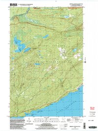
1999 Map of Mineral Center
USGS Topo · Published 2003About this map
The Grand Portage Indian Reservation occupies this corner of the Arrowhead region, where the international boundary follows the Pigeon River as it flows toward Lake Superior. The landscape is defined by interior water bodies like Speckled Trout Lake and Taylor Lake, while the coastline features rugged inlets such as Deronda Bay and Cannonball Bay. The small settlement of Mineral Center sits at a crossroads within the reservation, serving as a focal point in a territory largely comprised of the Grand Portage State Forest and the Grand Portage National Monument. High-altitude vantage points are marked by the Mt Sophie Lookout Tower and Mt Maude Lookout Tower, indicating the importance of fire surveillance in these dense woods at the end of the 20th century. Topography here reaches its peak at the Partridge Falls along the Ontario border.
Find a feature on this map
23 named features on this map. Tap any name to fly to it.
Don’t see what you’re looking for? This feature index may not catch every label — zoom into the map to look around manually.
Map Details
Editions of this 1999 Mineral Center Map
This is the sole edition of this map. No revisions or reprints were ever made.
Other maps of this area

1958 · Hancock
USGS Topo · 1:250,000

1959 · Mineral Center
USGS Topo · 1:24,000

1959 · Fort William
USGS Topo · 1:250,000
1959 · Grand Portage
USGS Topo · 1:24,000

1960 · Hancock
USGS Topo · 1:250,000
1960 · The Cascades
USGS Topo · 1:24,000
1960 · Farquhar Peak
USGS Topo · 1:24,000
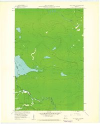
1960 · South Fowl Lake
USGS Topo · 1:24,000
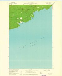
1960 · Hovland
USGS Topo · 1:24,000

1961 · Hancock
USGS Topo · 1:250,000