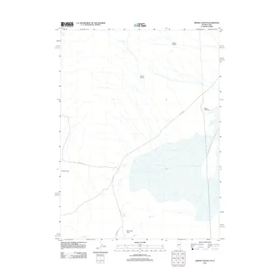
2012 Map of Miners Canyon
USGS Topo · Published 2012About this map
The Hastings Trl cuts across this high-desert landscape, marking a historic corridor of western migration through the arid basin of Pilot Creek Valley. This 2012 survey illustrates a terrain defined by its scarce water sources, where Miners Spring, Salt Spring, and Little Salt Spring serve as vital landmarks for navigation and survival. The geography is dominated by the steep drainages of Miners Canyon and Willow Canyon to the north, giving way to the flats of Halls Meadow in the east.
Find a feature on this map
11 named features on this map. Tap any name to fly to it.
Don’t see what you’re looking for? This feature index may not catch every label — zoom into the map to look around manually.
Map Details
Editions of this 2012 Miners Canyon Map
This is the sole edition of this map. No revisions or reprints were ever made.
Other maps of this area

1953 · Tooele
USGS Topo · 1:250,000

1954 · Brigham City
USGS Topo · 1:250,000

1955 · Tooele
USGS Topo · 1:250,000

1955 · Wells
USGS Topo · 1:250,000

1955 · Elko
USGS Topo · 1:250,000

1958 · Wells
USGS Topo · 1:250,000

1958 · Elko
USGS Topo · 1:250,000

1958 · Brigham City
USGS Topo · 1:250,000

1961 · Wells
USGS Topo · 1:250,000

1962 · Elko
USGS Topo · 1:250,000