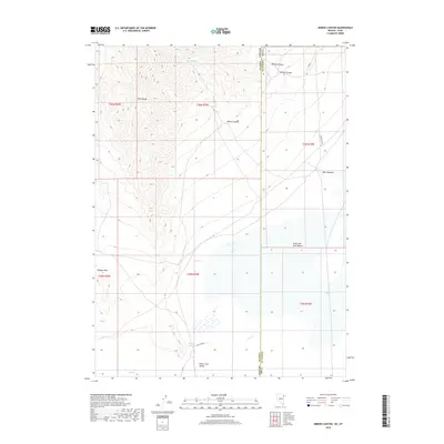
2018 Map of Miners Canyon
USGS Topo · Published 2018About this map
The Pilot Range dominates this landscape along the Nevada and Utah border, where the steep slopes of Miners Canyon and Willow Canyon descend toward the basin. This transition from high peaks to the Pilot Creek Valley reveals a hydrologic pattern essential for the arid environment, marked by isolated water sources such as Miners Spring, Salt Spring, and Little Salt Spring. The eastern portion of the survey opens into the flat, expansive floor of the Great Salt Lake Desert, where landmarks like Halls Meadow and the seasonal flow of Pilot Cr provided critical navigation points. The presence of Aqueduct Rd trace the modern infrastructure developed to manage water across these desert reaches, while the unique geological formation at Window Rock stands as a distinct waypoint for those tracing historical travel routes through the high desert.
Find a feature on this map
20 named features on this map. Tap any name to fly to it.
Don’t see what you’re looking for? This feature index may not catch every label — zoom into the map to look around manually.
Map Details
Editions of this 2018 Miners Canyon Map
This is the sole edition of this map. No revisions or reprints were ever made.
Other maps of this area

1953 · Tooele
USGS Topo · 1:250,000

1954 · Brigham City
USGS Topo · 1:250,000

1955 · Tooele
USGS Topo · 1:250,000

1955 · Wells
USGS Topo · 1:250,000

1955 · Elko
USGS Topo · 1:250,000

1958 · Wells
USGS Topo · 1:250,000

1958 · Elko
USGS Topo · 1:250,000

1958 · Brigham City
USGS Topo · 1:250,000

1961 · Wells
USGS Topo · 1:250,000

1962 · Elko
USGS Topo · 1:250,000