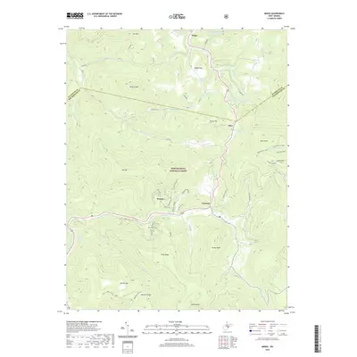
2019 Map of Mingo
USGS Topo · Published 2019About this map
The high ridges and river headwaters of Monongahela National Forest dominate this landscape on the boundary of Randolph and Pocahontas counties. Small settlements like Mingo, Linwood, and Mace follow the valley floor of the Tygart Valley River, which flows north toward the Ohio River basin. In contrast, the Elk River and Big Spring Fork drain the southern and western slopes, illustrating the complex hydrology of the Allegheny Mountains.
Find a feature on this map
57 named features on this map. Tap any name to fly to it.
Don’t see what you’re looking for? This feature index may not catch every label — zoom into the map to look around manually.
Map Details
Editions of this 2019 Mingo Map
This is the sole edition of this map. No revisions or reprints were ever made.
Other maps of this area

1889 · Beverly
USGS Topo · 1:125,000

1891 · Huntersville
USGS Topo · 1:125,000

1892 · Beverly
USGS Topo · 1:125,000

1893 · Buckhannon
USGS Topo · 1:125,000

1894 · Huntersville
USGS Topo · 1:125,000

1896 · Buckhannon
USGS Topo · 1:125,000

1897 · Buckhannon
USGS Topo · 1:125,000

1901 · Monterey
USGS Topo · 1:125,000

1913 · Pickens
USGS Topo · 1:48,000

1915 · Pickens
USGS Topo · 1:62,500