Loading...
Loading map...2022 Map of Mingo
USGS Topo · Published 2022About this map
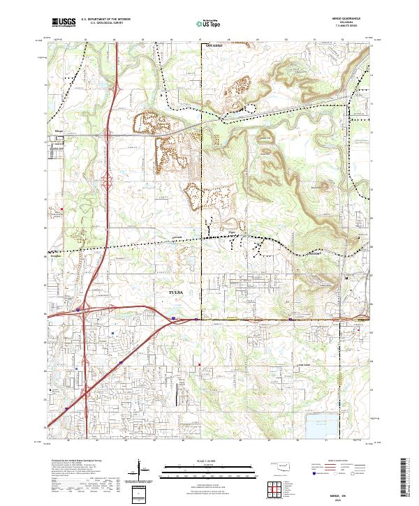
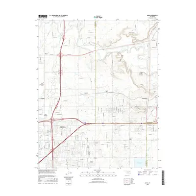
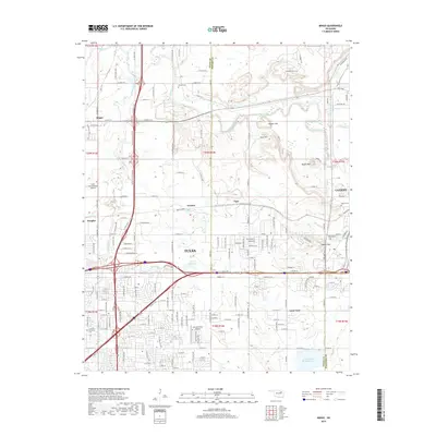
Tulsa and its northeastern suburbs are depicted in high detail at a moment of significant infrastructure development and expansion. The map records the complex corridor where the Tulsa and Rogers County line meets the commercial and residential growth radiating from Catoosa and Owasso. Notable for local historians and genealogists are several legacy sites among the newer subdivisions, including Harlow Cem, Denbo Cem, and Grayson Perryman Cem.
Find a feature on this map
92 named features on this map. Tap any name to fly to it.
Don’t see what you’re looking for? This feature index may not catch every label — zoom into the map to look around manually.
Map Details
Date Portrayed2022
Date Published2022
PublisherU.S. Geological Survey
Map TypeTopographic
Scale1:24,000
Physical Dimensions24 x 29 inches
Editions of this 2022 Mingo Map
This is the sole edition of this map. No revisions or reprints were ever made.
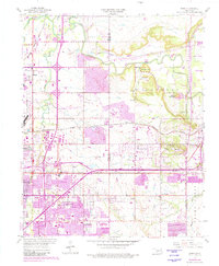
Historical Maps of Tulsa Through Time
6 maps found
Featured Locations
Source Details
SourceU.S. Geological Survey
CopyrightPublic Domain