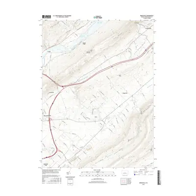
2016 Map of Mingoville
USGS Topo · Published 2016About this map
Bellefonte and the surrounding central Pennsylvania valleys are defined by the dramatic alternating ridges of Bald Eagle Mountain and Nittany Mtn. This 2016 survey documents the enduring settlement patterns within the Little Nittany Valley and Roaring Valley, where residential growth around Zion and Mingoville contrasts with the massive waters of Foster Joseph Sayers Lake to the north. The map traces the historical path of the Bald Eagle Creek, which winds past Mount Eagle and the community of Curtin. This landscape reflects a centuries-old orientation along the natural gaps in the ridge-and-valley province, such as Curtin Gap, Lambs Gap, and Hecla Gap, which have historically dictated the placement of roads and the extent of agricultural development in Greens Valley and Penns Valley.
Find a feature on this map
87 named features on this map. Tap any name to fly to it.
Don’t see what you’re looking for? This feature index may not catch every label — zoom into the map to look around manually.
Map Details
Editions of this 2016 Mingoville Map
This is the sole edition of this map. No revisions or reprints were ever made.
Other maps of this area

1908 · Bellefonte
USGS Topo · 1:62,500

1909 · Bellefonte
USGS Topo · 1:62,500

1921 · Howard
USGS Topo · 1:48,000

1923 · Howard
USGS Topo · 1:62,500

1924 · Centre Hall
USGS Topo · 1:62,500

1928 · Snow Shoe
USGS Topo · 1:48,000

1929 · Centre Hall
USGS Topo · 1:62,500

1931 · Show Shoe
USGS Topo · 1:62,500

1943 · Lewistown
USGS Topo · 1:125,000

1950 · Harrisburg
USGS Topo · 1:250,000