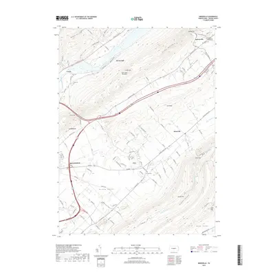
2019 Map of Mingoville
USGS Topo · Published 2019About this map
Bellefonte anchors the southwestern corner of this survey, where the landscape transitions from the developed valley floors into the steep ridges of Bald Eagle Mountain and Nittany Mtn. This area of Centre County is defined by the parallel orientation of the Little Nittany Valley and Nittany Valley, separated by the prominent Sand Ridge. The historical settlement pattern follows these lowlands, with communities like Mingoville, Zion, and Jacksonville situated along key transport corridors such as Nittany Valley Dr.
Find a feature on this map
97 named features on this map. Tap any name to fly to it.
Don’t see what you’re looking for? This feature index may not catch every label — zoom into the map to look around manually.
Map Details
Editions of this 2019 Mingoville Map
This is the sole edition of this map. No revisions or reprints were ever made.
Other maps of this area

1908 · Bellefonte
USGS Topo · 1:62,500

1909 · Bellefonte
USGS Topo · 1:62,500

1921 · Howard
USGS Topo · 1:48,000

1923 · Howard
USGS Topo · 1:62,500

1924 · Centre Hall
USGS Topo · 1:62,500

1928 · Snow Shoe
USGS Topo · 1:48,000

1929 · Centre Hall
USGS Topo · 1:62,500

1931 · Show Shoe
USGS Topo · 1:62,500

1943 · Lewistown
USGS Topo · 1:125,000

1950 · Harrisburg
USGS Topo · 1:250,000