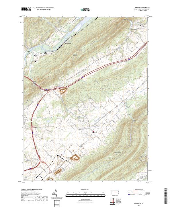
2023 Map of Mingoville
USGS Topo · Published 2023About this map
Jacksonville sits at the northern edge of this Pennsylvania landscape, where the Little Nittany Valley meets the high ridges of Bald Eagle Mountain. The area is defined by its series of parallel ridges and valleys, including Nittany Valley and the smaller Rag Valley to the south. Historically, these valleys provided fertile ground for settlements like Zion and Mingoville, which are linked by long-established routes such as Nittany Valley Dr.
Find a feature on this map
97 named features on this map. Tap any name to fly to it.
Don’t see what you’re looking for? This feature index may not catch every label — zoom into the map to look around manually.
Map Details
Editions of this 2023 Mingoville Map
This is the sole edition of this map. No revisions or reprints were ever made.
Other maps of this area

1908 · Bellefonte
USGS Topo · 1:62,500

1909 · Bellefonte
USGS Topo · 1:62,500

1921 · Howard
USGS Topo · 1:48,000

1923 · Howard
USGS Topo · 1:62,500

1924 · Centre Hall
USGS Topo · 1:62,500

1928 · Snow Shoe
USGS Topo · 1:48,000

1929 · Centre Hall
USGS Topo · 1:62,500

1931 · Show Shoe
USGS Topo · 1:62,500

1943 · Lewistown
USGS Topo · 1:125,000

1950 · Harrisburg
USGS Topo · 1:250,000