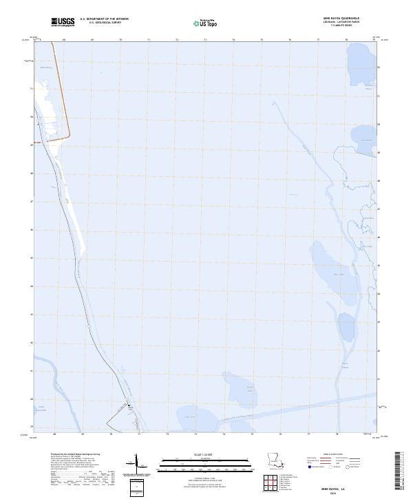
2024 Map of Mink Bayou
USGS Topo · Published 2024About this map
Bayou Lafourche cuts through the low-lying wetlands of this coastal region, serving as a primary corridor for movement and settlement. To the south, the Leeville Cem provides a fixed point of local heritage near the junction of La 1 Toll RD and Old State Rte 1. The landscape is a dense network of water bodies, including Mink Bayou and the man-made Southwestern Louisiana Canal, which reflects the importance of commercial transit through the marsh. Scattered bays like Bay Rambo, Bay Jaque, and Bay Vasier illustrate the porous nature of the shoreline where the land meets the Gulf waters. These features collectively highlight the unique geographic challenges and historic infrastructure required for life in the Lafourche Parish wetlands.
Find a feature on this map
21 named features on this map. Tap any name to fly to it.
Don’t see what you’re looking for? This feature index may not catch every label — zoom into the map to look around manually.
Map Details
Editions of this 2024 Mink Bayou Map
This is the sole edition of this map. No revisions or reprints were ever made.
Other maps of this area

1892 · Cheniere Caminada
USGS Topo · 1:62,500

1892 · Creole
USGS Topo · 1:62,500

1894 · Timbalier
USGS Topo · 1:62,500

1894 · Lake Felicity
USGS Topo · 1:62,500

1935 · Bay Courant
USGS Topo · 1:31,680

1935 · Golden Meadow
USGS Topo · 1:31,680

1935 · Pelican Pass
USGS Topo · 1:31,680

1935 · Mink Bayou
USGS Topo · 1:31,680

1935 · Leeville
USGS Topo · 1:31,680

1939 · Lake Felicity
USGS Topo · 1:62,500