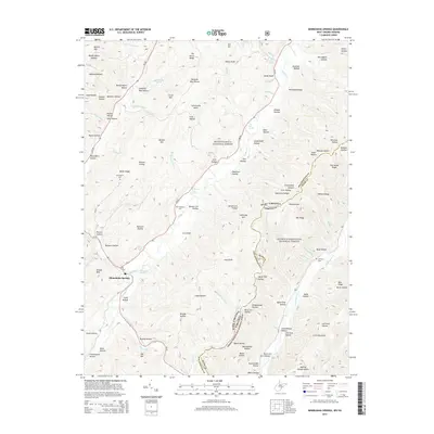
2014 Map of Minnehaha Springs
USGS Topo · Published 2014About this map
Minnehaha Springs serves as the central settlement in this high-elevation landscape, situated near the confluence of Knapp Cr and several mountain runs. The area is defined by the significant presence of both the Monongahela National Forest and the George Washington National Forest, which meet along the state line between West Virginia and Virginia. This boundary follows the high ridges of the Alleghenies, including The Horse Ridge and Wildcat Ridge.
Find a feature on this map
87 named features on this map. Tap any name to fly to it.
Don’t see what you’re looking for? This feature index may not catch every label — zoom into the map to look around manually.
Map Details
Editions of this 2014 Minnehaha Springs Map
This is the sole edition of this map. No revisions or reprints were ever made.
Other maps of this area

1891 · Huntersville
USGS Topo · 1:125,000

1894 · Huntersville
USGS Topo · 1:125,000

1901 · Monterey
USGS Topo · 1:125,000

1922 · Cass
USGS Topo · 1:48,000

1923 · Marlinton
USGS Topo · 1:48,000

1923 · Warm Springs
USGS Topo · 1:48,000

1923 · Mingo
USGS Topo · 1:48,000

1924 · Cass
USGS Topo · 1:62,500

1925 · Mingo
USGS Topo · 1:62,500

1925 · Marlinton
USGS Topo · 1:62,500