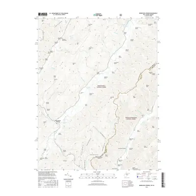
2016 Map of Minnehaha Springs
USGS Topo · Published 2016About this map
Minnehaha Springs sits at the heart of this Allegheny Highlands landscape, where the waters of Minnehaha Spring meet Knapp Creek. The 2016 survey illustrates the rugged boundary between the Monongahela National Forest and the George Washington National Forest, bisected by the Pocahontas and Bath County line along the West Virginia and Virginia border. The map reveals a deeply etched topography of hollows and ridges, from Marlin Mtn in the northwest to Mid Mtn in the south.
Find a feature on this map
86 named features on this map. Tap any name to fly to it.
Don’t see what you’re looking for? This feature index may not catch every label — zoom into the map to look around manually.
Map Details
Editions of this 2016 Minnehaha Springs Map
This is the sole edition of this map. No revisions or reprints were ever made.
Other maps of this area

1891 · Huntersville
USGS Topo · 1:125,000

1894 · Huntersville
USGS Topo · 1:125,000

1901 · Monterey
USGS Topo · 1:125,000

1922 · Cass
USGS Topo · 1:48,000

1923 · Marlinton
USGS Topo · 1:48,000

1923 · Warm Springs
USGS Topo · 1:48,000

1923 · Mingo
USGS Topo · 1:48,000

1924 · Cass
USGS Topo · 1:62,500

1925 · Mingo
USGS Topo · 1:62,500

1925 · Marlinton
USGS Topo · 1:62,500