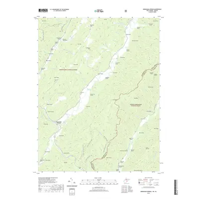
2019 Map of Minnehaha Springs
USGS Topo · Published 2019About this map
Minnehaha Springs sits at the convergence of several mountain ridges and valleys, serving as a focal point for the surrounding highlands within the Monongahela National Forest and George Washington National Forest. The landscape is defined by its numerous named hollows and ridges, such as Marlin Mtn, Miller Ridge, and Grindstone Knob. For genealogists, the map preserves the locations of several burial sites including McLaughlin Cem, Shinaberry Cem, and Chestnut Cem, often situated near the drainage systems of Knapp Creek and Little Back Creek. The presence of Minnehaha Spring and Davis Spring indicates the hydrogeological character that historically drew settlers to this pocket of Pocahontas County. Long-distance routes like the Allegheny Tr - Marlin Mtn and the Laurel Creek Trail # 466 track the high ground between the West Virginia and Virginia border.
Find a feature on this map
87 named features on this map. Tap any name to fly to it.
Don’t see what you’re looking for? This feature index may not catch every label — zoom into the map to look around manually.
Map Details
Editions of this 2019 Minnehaha Springs Map
This is the sole edition of this map. No revisions or reprints were ever made.
Other maps of this area

1891 · Huntersville
USGS Topo · 1:125,000

1894 · Huntersville
USGS Topo · 1:125,000

1901 · Monterey
USGS Topo · 1:125,000

1922 · Cass
USGS Topo · 1:48,000

1923 · Marlinton
USGS Topo · 1:48,000

1923 · Warm Springs
USGS Topo · 1:48,000

1923 · Mingo
USGS Topo · 1:48,000

1924 · Cass
USGS Topo · 1:62,500

1925 · Mingo
USGS Topo · 1:62,500

1925 · Marlinton
USGS Topo · 1:62,500