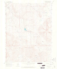
1964 Map of Minnesota Pass
USGS Topo · Published 1967About this map
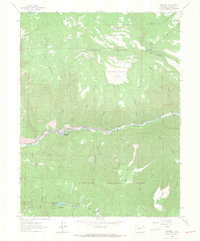
Gunnison National Forest dominates this mid-1960s survey, illustrating a rugged backcountry landscape defined by high mesas and deep drainage basins. High-elevation water management is evident at the Minnesota Reservoir and Beaver Reservoir, with a Gaging Sta located along Horse Creek to monitor flow. The map documents a complex network of primitive transportation routes, including the Sunset Trail, Curecanti Trail, and various unnamed jeep trails that navigate the steep gradients between Lion Mesa and Wooten Mesa.
Find a feature on this map
45 named features on this map. Tap any name to fly to it.
Don’t see what you’re looking for? This feature index may not catch every label — zoom into the map to look around manually.
Map Details
Editions of this 1964 Minnesota Pass Map
3 editions found
Other maps of this area

1938 · Mt. Gunnison
USGS Topo · 1:48,000

1945 · Mount Gunnison
USGS Topo · 1:62,500

1956 · Montrose
USGS Topo · 1:250,000

1959 · Montrose
USGS Topo · 1:250,000

1960 · Montrose
USGS Topo · 1:250,000
1964 · West Beckwith Peak
USGS Topo · 1:24,000
1964 · Paonia Reservoir
USGS Topo · 1:24,000

1964 · Minnesota Pass
USGS Topo · 1:24,000
1964 · Somerset
USGS Topo · 1:24,000

1965 · Mount Guero
USGS Topo · 1:24,000