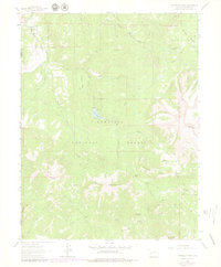
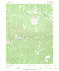
1964 Map of Minnesota Pass
USGS Topo · Published 1979About this map
The Chain Mountains dominate this high-elevation landscape, forming a massive divide between the Minnesota Creek drainage and the Smith Fork to the south. This 1964 survey, with purple-ink revisions from the late 1970s, documents a wilderness area defined by rugged mesas and sharp topographic relief. Significant landmarks include Mount Gunnison and the Minnesota Pass, which sits at the head of Browning Creek.
Find a feature on this map
41 named features on this map. Tap any name to fly to it.
Don’t see what you’re looking for? This feature index may not catch every label — zoom into the map to look around manually.
Map Details
Editions of this 1964 Minnesota Pass Map
3 editions found
Other maps of this area

1938 · Mt. Gunnison
USGS Topo · 1:48,000

1945 · Mount Gunnison
USGS Topo · 1:62,500

1956 · Montrose
USGS Topo · 1:250,000

1959 · Montrose
USGS Topo · 1:250,000

1960 · Montrose
USGS Topo · 1:250,000
1964 · West Beckwith Peak
USGS Topo · 1:24,000
1964 · Paonia Reservoir
USGS Topo · 1:24,000

1964 · Minnesota Pass
USGS Topo · 1:24,000
1964 · Somerset
USGS Topo · 1:24,000

1965 · Mount Guero
USGS Topo · 1:24,000