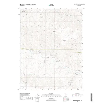
2020 Map of Minnie Maud Creek East
USGS Topo · Published 2020About this map
Argyle Ridge and Minnie Maud Ridge dominate this high-desert corridor along the border of Duchesne and Carbon counties. The landscape is defined by a dense network of deeply carved drainages, including Argyle Canyon to the north and the famed Ninemile Canyon system in the south. This area serves as a critical watershed for Minnie Maud Cr and Nine Mile Cr, with isolated water sources like Sky-high Pond providing rare relief in the high country. Evidence of local travel and livestock management is visible through named routes like the Twist Trail and Sorenson Draw. The southern portion of the map showcases the dramatic descent of the Roan Cliffs into Squaw Flat, illustrating the geological transition between the high plateaus and the lower basin floors.
Find a feature on this map
47 named features on this map. Tap any name to fly to it.
Don’t see what you’re looking for? This feature index may not catch every label — zoom into the map to look around manually.
Map Details
Editions of this 2020 Minnie Maud Creek East Map
This is the sole edition of this map. No revisions or reprints were ever made.
Other maps of this area

1886 · Price River
USGS Topo · 1:250,000

1896 · Price River
USGS Topo · 1:250,000

1915 · Sunnyside
USGS Topo · 1:62,500

1915 · Wellington
USGS Topo · 1:62,500

1956 · Price
USGS Topo · 1:250,000

1960 · Price
USGS Topo · 1:250,000

1962 · Price
USGS Topo · 1:250,000
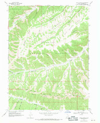
1968 · Lance Canyon
USGS Topo · 1:24,000

1968 · Wood Canyon
USGS Topo · 1:24,000
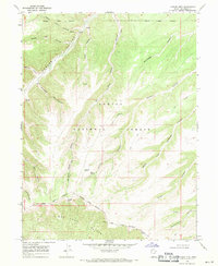
1968 · Anthro Mtn
USGS Topo · 1:24,000