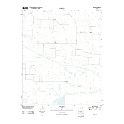
2010 Map of Minter
USGS Topo · Published 2010About this map
Kensing and Minter anchor this rural Northeast Texas landscape, where the drainage systems of the North Sulphur River and South Sulphur River dominate the topography. The map reveals a network of farm-to-market roads and county routes connecting small settlements like Rockford and Taylor Town. The agricultural and ranching character of the region is evident in the sparse residential clusters and the presence of localized infrastructure such as the Bozman Dam on Pickering Creek.
Find a feature on this map
46 named features on this map. Tap any name to fly to it.
Don’t see what you’re looking for? This feature index may not catch every label — zoom into the map to look around manually.
Map Details
Editions of this 2010 Minter Map
This is the sole edition of this map. No revisions or reprints were ever made.
Other maps of this area

1903 · Paris
USGS Topo · 1:125,000

1948 · Paris
USGS Topo · 1:62,500

1949 · Paris
USGS Topo · 1:62,500

1953 · Texarkana
USGS Topo · 1:250,000

1956 · Texarkana
USGS Topo · 1:250,000

1962 · Sulphur Bluff
USGS Topo · 1:24,000

1963 · Mitchell Creek
USGS Topo · 1:24,000

1963 · Minter
USGS Topo · 1:24,000

1963 · Cunningham
USGS Topo · 1:24,000

1964 · Deport
USGS Topo · 1:24,000