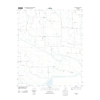
2012 Map of Minter
USGS Topo · Published 2012About this map
The N Sulphur River and S Sulphur River define the hydraulic character of this Northeast Texas landscape, where low-lying drainage basins meet the dispersed agricultural settlements of Delta County. Small communities like Minter and Kensing serve as focal points for local history, each anchored by its respective burial grounds, the Minter Cem and Kensing Cem. The network of farm roads and county routes, such as Farm Road 196 and Farm Road 905, connects isolated points like Rock Ford and Taylortown.
Find a feature on this map
51 named features on this map. Tap any name to fly to it.
Don’t see what you’re looking for? This feature index may not catch every label — zoom into the map to look around manually.
Map Details
Editions of this 2012 Minter Map
This is the sole edition of this map. No revisions or reprints were ever made.
Other maps of this area

1903 · Paris
USGS Topo · 1:125,000

1948 · Paris
USGS Topo · 1:62,500

1949 · Paris
USGS Topo · 1:62,500

1953 · Texarkana
USGS Topo · 1:250,000

1956 · Texarkana
USGS Topo · 1:250,000

1962 · Sulphur Bluff
USGS Topo · 1:24,000

1963 · Mitchell Creek
USGS Topo · 1:24,000

1963 · Minter
USGS Topo · 1:24,000

1963 · Cunningham
USGS Topo · 1:24,000

1964 · Deport
USGS Topo · 1:24,000