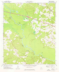
1974 Map of Minter
USGS Topo · Published 1976About this map
The Oconee River carves a winding path through this portion of Laurens County, defining a landscape shaped by river landings and small rural settlements. In the mid-1970s, the community of Minter served as a focal point in the northeast, positioned along the Seaboard Coast Line railroad. The river's influence is evident in the numerous specialized access points like Fishtrap Cut Landing and Wells Spring Landing, which hint at a long history of local navigation and fishing.
Find a feature on this map
34 named features on this map. Tap any name to fly to it.
Don’t see what you’re looking for? This feature index may not catch every label — zoom into the map to look around manually.
Map Details
Editions of this 1974 Minter Map
2 editions found
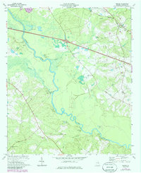
Other maps of this area

1957 · Macon
USGS Topo · 1:250,000

1958 · Macon
USGS Topo · 1:250,000

1964 · Macon
USGS Topo · 1:250,000

1971 · Lothair
USGS Topo · 1:24,000

1971 · Rockledge
USGS Topo · 1:24,000

1974 · Lowery
USGS Topo · 1:24,000

1974 · Five Points
USGS Topo · 1:24,000

1974 · Rentz
USGS Topo · 1:24,000

1974 · East Dublin
USGS Topo · 1:24,000

1974 · Scott
USGS Topo · 1:24,000