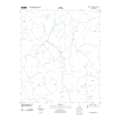
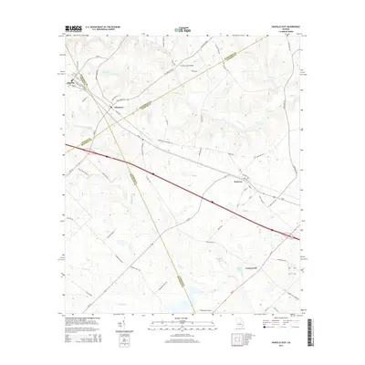
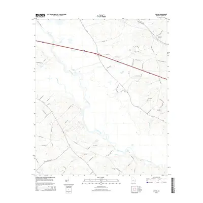
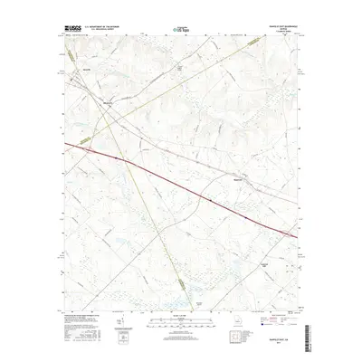
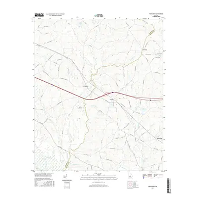
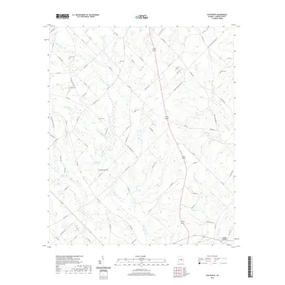
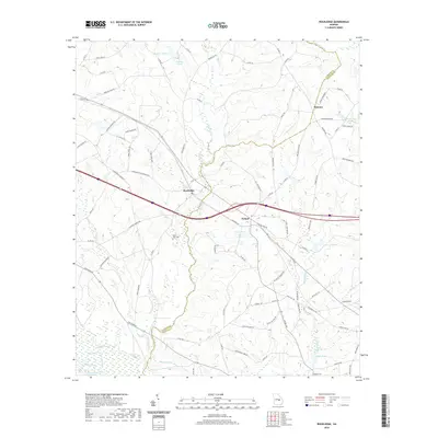
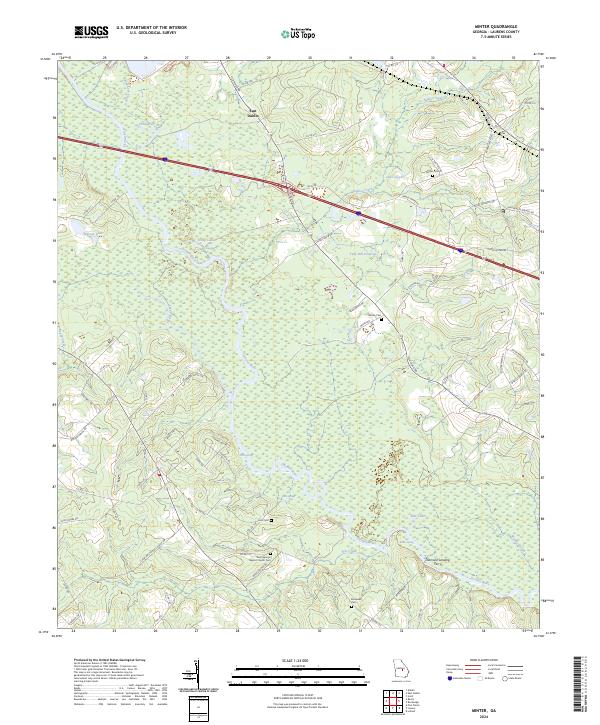
1974 Map of Minter
USGS Topo · Published 1986About this map
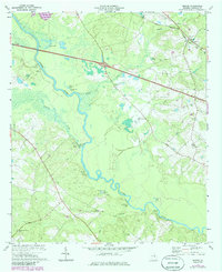
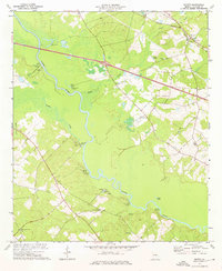
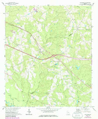
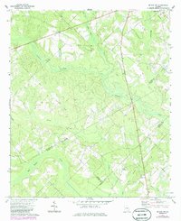
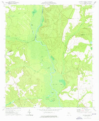
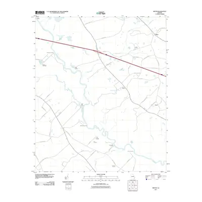
The Oconee River winds through this central Georgia landscape, defining a network of landings and riparian landmarks in Laurens County. During the mid-1970s, the riverfront remained active with numerous small vessel access points including Fishtrap Cut Landing, Troup Spring Landing, and Diamond Landing, reflecting the area's continued reliance on the waterway for recreation and local transport. The settlement of Minter sits in the northeast corner near the Seaboard Coast Line railroad, surrounded by family-named sites like Minter Cem and Pine Level Ch. Evidence of much earlier habitation is marked by several Indian Mounds located near the riverbanks. Away from the water, the terrain is dotted with small churches such as Rock Springs Ch and South Poplar Springs Ch, alongside industrial activity at a local Sandpit. Updated in the 1980s, the map also captures the path of Interstate 16 as it crosses the northern reach of the quadrangle.
Find a feature on this map
31 named features on this map. Tap any name to fly to it.
Don’t see what you’re looking for? This feature index may not catch every label — zoom into the map to look around manually.
Map Details
Editions of this 1974 Minter Map
2 editions found
Historical Maps of Minter Through Time
48 maps found
1971 Rockledge
Laurens County, GA
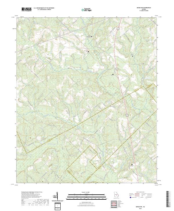
1972 Mc Rae NW
Laurens County, GA
1974 Cow Hell Swamp
Laurens County, GA

1974 Danville East
Laurens County, GA
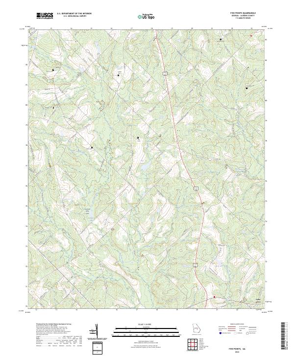
1974 Five Points
Laurens County, GA
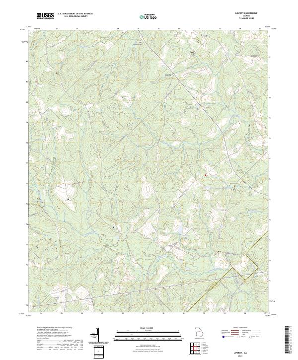
1974 Lowery
Laurens County, GA
1974 Minter
Laurens County, GA
1974 Scott
Laurens County, GA
2011 Cow Hell Swamp
Laurens County, GA
2011 Danville East
Laurens County, GA

2011 Five Points
Laurens County, GA
2011 Lowery
Laurens County, GA
2011 McRae NW
Laurens County, GA
2011 Minter
Laurens County, GA
2011 Rockledge
Laurens County, GA
2011 Scott
Laurens County, GA
2014 Cow Hell Swamp
Laurens County, GA
2014 Danville East
Laurens County, GA
2014 Five Points
Laurens County, GA
2014 Lowery
Laurens County, GA
2014 McRae NW
Laurens County, GA
2014 Minter
Laurens County, GA
2014 Rockledge
Laurens County, GA
2014 Scott
Laurens County, GA
2017 Cow Hell Swamp
Laurens County, GA
2017 Danville East
Laurens County, GA

2017 Five Points
Laurens County, GA
2017 Lowery
Laurens County, GA
2017 McRae NW
Laurens County, GA
2017 Minter
Laurens County, GA
2017 Rockledge
Laurens County, GA
2017 Scott
Laurens County, GA
2020 Cow Hell Swamp
Laurens County, GA
2020 Danville East
Laurens County, GA
2020 Five Points
Laurens County, GA
2020 Lowery
Laurens County, GA
2020 McRae NW
Laurens County, GA
2020 Minter
Laurens County, GA
2020 Rockledge
Laurens County, GA
2020 Scott
Laurens County, GA
2024 Cow Hell Swamp
Laurens County, GA
2024 Danville East
Laurens County, GA
2024 Five Points
Laurens County, GA
2024 Lowery
Laurens County, GA
2024 McRae NW
Laurens County, GA
2024 Minter
Laurens County, GA
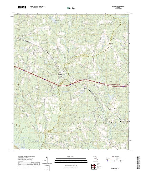
2024 Rockledge
Laurens County, GA
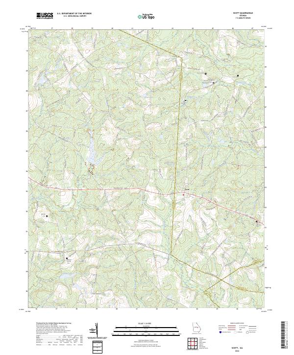
2024 Scott
Laurens County, GA