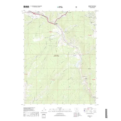
2019 Map of Minturn
USGS Topo · Published 2019About this map
Minturn and Vail anchor this high-altitude corridor along the Eagle River, where the White River National Forest meets world-class recreation and mountain infrastructure. The map documents the extensive trail networks and ski areas including the Vail Ski Area, with specialized runs and lifts such as the Grand Traverse Trail, Berry Picker Trail, and Eagles Nest. In the southern half of the quadrangle, the landscape shifts toward the steep drainages of Cross Creek and Martin Creek, revealing a historical industrial footprint at Gilman and Belden along the river canyon.
Find a feature on this map
71 named features on this map. Tap any name to fly to it.
Don’t see what you’re looking for? This feature index may not catch every label — zoom into the map to look around manually.
Map Details
Editions of this 2019 Minturn Map
This is the sole edition of this map. No revisions or reprints were ever made.
Other maps of this area
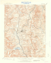
1889 · Leadville
USGS Topo · 1:125,000
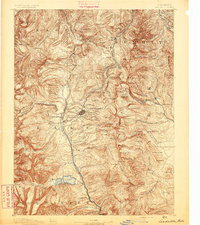
1891 · Leadville
USGS Topo · 1:125,000
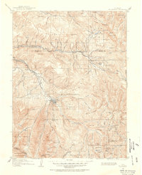
1909 · Mount Jackson
USGS Topo · 1:125,000
1911 · Mount Jackson
USGS Topo · 1:125,000
1934 · Minturn
USGS Topo · 1:62,500
1942 · Leadville
USGS Topo · 1:125,000
1949 · Holy Cross
USGS Topo · 1:62,500
1950 · Minturn
USGS Topo · 1:62,500
1951 · Holy Cross
USGS Topo · 1:62,500
1957 · Leadville
USGS Topo · 1:250,000