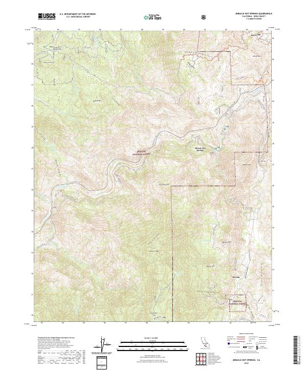
2022 Map of Miracle Hot Springs
USGS Topo · Published 2022About this map
The Kern River carves a deep path through the southern Sierra Nevada range in this 2022 survey, illustrating a landscape defined by dramatic elevation changes and geothermal activity. The thermal heritage of the region is anchored by Miracle Hot Springs and Delonegha Hot Springs, which sit along the river's winding course. To the south, the settlement of Havilah is situated near Havilah Canyon, while Keyesville occupies the northern reaches near the Keyesville Classic Trl. This area serves as a rugged intersection of the Greenhorn Mountains and the Piute Mountains, where the local terrain transitions from high peaks like Rankin Peak to secluded flats such as Lightners Flat. The complex road network, including Caliente Bodfish Rd and CA State Rte 178, traces the difficult topography of canyons like Jenny Lind Canyon and ridges such as Hobo Ridge.
Find a feature on this map
56 named features on this map. Tap any name to fly to it.
Don’t see what you’re looking for? This feature index may not catch every label — zoom into the map to look around manually.
Map Details
Editions of this 2022 Miracle Hot Springs Map
This is the sole edition of this map. No revisions or reprints were ever made.
Other maps of this area

1906 · Kernville
USGS Topo · 1:125,000

1908 · Kernville
USGS Topo · 1:125,000

1914 · Caliente
USGS Topo · 1:125,000

1915 · Mojave
USGS Topo · 1:125,000

1920 · Delonagha
USGS Topo · 1:62,500

1926 · Glennville
USGS Topo · 1:62,500

1936 · Tobias Peak
USGS Topo · 1:125,000

1943 · Emerald Mtn
USGS Topo · 1:62,500

1943 · Breckenridge Mountain
USGS Topo · 1:62,500

1943 · Tobias Peak
USGS Topo · 1:125,000