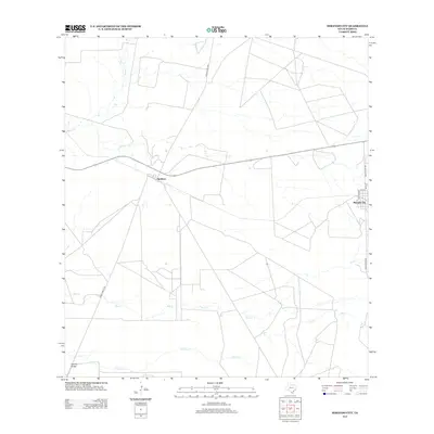
2013 Map of Mirando City
USGS Topo · Published 2013About this map
Mirando City and the smaller settlement of Aguilares anchor this South Texas landscape, where the arid terrain is defined by a complex network of ephemeral drainage systems. The map shows the convergence of several major creeks including Reiser Cr, Ryo Cr, and Cerrito Cr, which carve paths through the brush country toward the Cerrito-Prieto. The spatial arrangement of these watercourses against the geometric property lines and ranch roads highlights the challenges of settlement and land management in this portion of Webb County.
Find a feature on this map
12 named features on this map. Tap any name to fly to it.
Don’t see what you’re looking for? This feature index may not catch every label — zoom into the map to look around manually.
Map Details
Editions of this 2013 Mirando City Map
This is the sole edition of this map. No revisions or reprints were ever made.
Other maps of this area

1937 · Aguilete Creek
USGS Topo · 1:62,500

1939 · Bruni
USGS Topo · 1:62,500

1940 · Aguilares
USGS Topo · 1:62,500

1956 · Laredo
USGS Topo · 1:250,000
1968 · Mills Bennett SW
USGS Topo · 1:24,000

1972 · Albercas Ranch
USGS Topo · 1:24,000
1972 · Oilton
USGS Topo · 1:24,000
1980 · Agua Azul Creek East
USGS Topo · 1:24,000
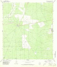
1980 · Mirando City
USGS Topo · 1:24,000
1980 · Burrito Tank
USGS Topo · 1:24,000
Featured Places
- Mirando City, TX
- Ranchitos los Veteranos Colonia, TX
- Aguilares, TX
- Aguilares Acres Colonia, TX
- Webb County, TX