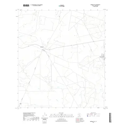
2019 Map of Mirando City
USGS Topo · Published 2019About this map
Mirando City serves as the primary eastern anchor of this Webb County landscape, where the street grid including Main St, Rehlen Ave, and Panther Ave marks a concentrated pocket of settlement in the brush country of South Texas. The area is defined by its ranching and resource infrastructure, with the small community of Aguilares situated to the west along Ranch Rd 3169. The terrain is etched by drainage patterns like Reiser Cr, Ryo Cr, and Cerrito Cr, which flow toward the southern reaches of the quadrangle near Cerrito Prieto. A local Po in Mirando City and the network of local roads such as Jennings Rd and Garcia Acres highlight the rural connectivity of the region, where wide-open ranch lands are partitioned by thoroughfares like FM 3895 and Mvp Rd.
Find a feature on this map
16 named features on this map. Tap any name to fly to it.
Don’t see what you’re looking for? This feature index may not catch every label — zoom into the map to look around manually.
Map Details
Editions of this 2019 Mirando City Map
This is the sole edition of this map. No revisions or reprints were ever made.
Other maps of this area

1937 · Aguilete Creek
USGS Topo · 1:62,500

1939 · Bruni
USGS Topo · 1:62,500

1940 · Aguilares
USGS Topo · 1:62,500

1956 · Laredo
USGS Topo · 1:250,000
1968 · Mills Bennett SW
USGS Topo · 1:24,000

1972 · Albercas Ranch
USGS Topo · 1:24,000
1972 · Oilton
USGS Topo · 1:24,000
1980 · Agua Azul Creek East
USGS Topo · 1:24,000
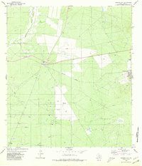
1980 · Mirando City
USGS Topo · 1:24,000
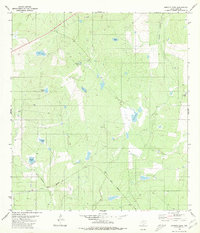
1980 · Burrito Tank
USGS Topo · 1:24,000
Featured Places
- Mirando City, TX
- Ranchitos los Veteranos Colonia, TX
- Aguilares, TX
- Aguilares Acres Colonia, TX
- Webb County, TX