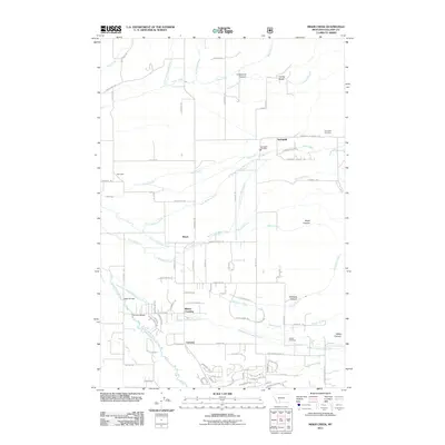
2011 Map of Miser Creek
USGS Topo · Published 2011About this map
Springhill and the neighboring settlements of Busch, Wisner Crossing, and Camona define the inhabited landscape of this Gallatin County valley. The area is marked by a complex network of waterways, including the East Gallatin River and numerous mountain-fed streams like Ross Creek and Miser Creek. Historical markers of the community are visible through the Springhill Cemetery and Walker Cemetery, while the presence of the Springhill Fire Dept and Springhill School Rd suggests the enduring structure of these rural townships.
Find a feature on this map
92 named features on this map. Tap any name to fly to it.
Don’t see what you’re looking for? This feature index may not catch every label — zoom into the map to look around manually.
Map Details
Editions of this 2011 Miser Creek Map
This is the sole edition of this map. No revisions or reprints were ever made.
Other maps of this area

1888 · Three Forks
USGS Topo · 1:250,000

1891 · Livingston
USGS Topo · 1:250,000

1893 · Livingston
USGS Topo · 1:250,000

1894 · Three Forks
USGS Topo · 1:250,000

1895 · Three Forks
USGS Topo · 1:250,000

1947 · Bozeman
USGS Topo · 1:250,000

1948 · Bozeman
USGS Topo · 1:250,000

1950 · Belgrade
USGS Topo · 1:62,500

1951 · Bozeman Pass
USGS Topo · 1:62,500

1951 · Sedan
USGS Topo · 1:62,500