
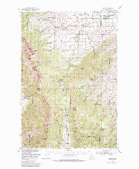
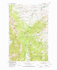
1951 Map of Sedan
USGS Topo · Published 1956About this map
Sedan and the surrounding high country of the Bridger Range appear here as they were in the early 1950s, a landscape defined by ranching, forestry, and recreation. The mapping captures the diverse network of three separate ranger stations—Flathead, Battle Ridge, and Bangtail—reflecting the intensive management of these national forest lands. Local industry is anchored by the Ryan Sawmill near Potters Creek, while social life in the valley is evidenced by the Spring Hill Pavilion.
Find a feature on this map
73 named features on this map. Tap any name to fly to it.
Don’t see what you’re looking for? This feature index may not catch every label — zoom into the map to look around manually.
Map Details
Editions of this 1951 Sedan Map
3 editions found
Other maps of this area

1886 · Fort Logan
USGS Topo · 1:250,000

1886 · Little Belt Mts.
USGS Topo · 1:250,000

1888 · Three Forks
USGS Topo · 1:250,000

1891 · Livingston
USGS Topo · 1:250,000

1893 · Livingston
USGS Topo · 1:250,000

1894 · Three Forks
USGS Topo · 1:250,000

1894 · Little Belt Mts.
USGS Topo · 1:250,000

1895 · Three Forks
USGS Topo · 1:250,000

1897 · Little Belt Mts.
USGS Topo · 1:250,000

1898 · Little Belt Mts.
USGS Topo · 1:250,000