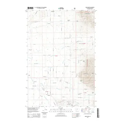
2014 Map of Miser Creek
USGS Topo · Published 2014About this map
The Bridger Range dominates the eastern landscape of this Gallatin County survey, where the peaks of the Gallatin National Forest descend into a complex network of agricultural and ranching lands. The settlement of Springhill serves as a primary focal point, surrounded by family-named landmarks and infrastructure such as Reese Creek Rd and Springhill School Rd. Water management is central to the area's layout, evidenced by the Lutz McGuire Ditch and numerous creek systems like Ross Cr and Middle Cottonwood Cr that feed toward the East Gallatin River. This 2014 edition reveals the modern rural character of the region, documenting the proximity of the Springhill Cem and Walker Cem to established routes like Walker Rd. Further south, the map details the terrain around Saddle Mountain and the entry points to several canyons, including Miser Canyon and Bostwick Canyon.
Find a feature on this map
92 named features on this map. Tap any name to fly to it.
Don’t see what you’re looking for? This feature index may not catch every label — zoom into the map to look around manually.
Map Details
Editions of this 2014 Miser Creek Map
This is the sole edition of this map. No revisions or reprints were ever made.
Other maps of this area

1888 · Three Forks
USGS Topo · 1:250,000

1891 · Livingston
USGS Topo · 1:250,000

1893 · Livingston
USGS Topo · 1:250,000

1894 · Three Forks
USGS Topo · 1:250,000

1895 · Three Forks
USGS Topo · 1:250,000

1947 · Bozeman
USGS Topo · 1:250,000

1948 · Bozeman
USGS Topo · 1:250,000

1950 · Belgrade
USGS Topo · 1:62,500

1951 · Bozeman Pass
USGS Topo · 1:62,500

1951 · Sedan
USGS Topo · 1:62,500