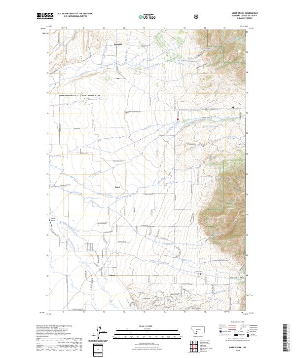
2024 Map of Miser Creek
USGS Topo · Published 2024About this map
Springhill and the surrounding agricultural valleys of Gallatin County define this landscape, where the flat plains meet the rising slopes of the Bridger Range. The map documents a network of rural settlements and family-named landmarks, including the small community of Busch and the southern locality of Camona. Local history is preserved in the location of the Springhill Cem and Walker Cem, alongside the Springhill School, which served the farming families established near the numerous irrigation works like the Lutz McGuire Ditch.
Find a feature on this map
102 named features on this map. Tap any name to fly to it.
Don’t see what you’re looking for? This feature index may not catch every label — zoom into the map to look around manually.
Map Details
Editions of this 2024 Miser Creek Map
This is the sole edition of this map. No revisions or reprints were ever made.
Other maps of this area

1888 · Three Forks
USGS Topo · 1:250,000

1891 · Livingston
USGS Topo · 1:250,000

1893 · Livingston
USGS Topo · 1:250,000

1894 · Three Forks
USGS Topo · 1:250,000

1895 · Three Forks
USGS Topo · 1:250,000

1947 · Bozeman
USGS Topo · 1:250,000

1948 · Bozeman
USGS Topo · 1:250,000

1950 · Belgrade
USGS Topo · 1:62,500

1951 · Bozeman Pass
USGS Topo · 1:62,500

1951 · Sedan
USGS Topo · 1:62,500