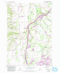
1957 Map of Mission Bottom
USGS Topo · Published 1993About this map
The Willamette River carves a complex course through the heart of this landscape, defining the boundaries between Marion, Polk, and Yamhill counties. The river's movement is recorded in a series of gravel bars and landings, such as Tompkins Landing and Spongs Landing, which reflect a legacy of river-based transport and commerce. At Wheatland, the Wheatland Ferry provides a crossing point near Willamette Mission State Park, an area noted for its cultural history at the Jason Lee Mission Historical Marker.
Find a feature on this map
79 named features on this map. Tap any name to fly to it.
Don’t see what you’re looking for? This feature index may not catch every label — zoom into the map to look around manually.
Map Details
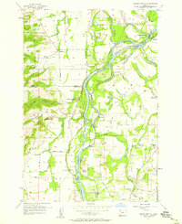
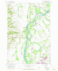
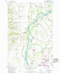
Editions of this 1957 Mission Bottom Map
4 editions found
Other maps of this area

1915 · Rickreall
USGS Topo · 1:31,680

1915 · Eola
USGS Topo · 1:31,680

1917 · Salem
USGS Topo · 1:62,500

1923 · Mount Angel
USGS Topo · 1:62,500

1924 · Mc Minnville
USGS Topo · 1:48,000

1925 · Stayton
USGS Topo · 1:62,500

1926 · Mc Minnville
USGS Topo · 1:62,500

1940 · McMinnville
USGS Topo · 1:62,500

1940 · Salem
USGS Topo · 1:62,500

1940 · Mount Angel
USGS Topo · 1:62,500