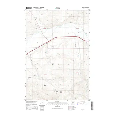
2014 Map of Mission
USGS Topo · Published 2014About this map
The Shields River flows into the Yellowstone River north of Misson, anchoring a landscape defined by ranching homesteads and mountain drainage. Several named family holdings, including the Minnie Rahn Place, Urback Place, and Shaw Place, are scattered across the terrain, reflecting the area's agricultural heritage. Transportation history is etched into the topography through labels such as the Horse Thief Trl and Convict Grade Rd, which run north of the Interstate 90 corridor. The map highlights essential community features like the Poor Farm Cem and Bruffey Cem, alongside irrigation infrastructure like the Palmer Ditch and Bulmer Ditch. Central to the area's modern infrastructure is the Mission Field Airport, situated just south of the primary river bend.
Find a feature on this map
35 named features on this map. Tap any name to fly to it.
Don’t see what you’re looking for? This feature index may not catch every label — zoom into the map to look around manually.
Map Details
Editions of this 2014 Mission Map
This is the sole edition of this map. No revisions or reprints were ever made.
Other maps of this area

1891 · Livingston
USGS Topo · 1:250,000

1893 · Livingston
USGS Topo · 1:250,000

1947 · Bozeman
USGS Topo · 1:250,000

1948 · Bozeman
USGS Topo · 1:250,000

1951 · Mount Rae
USGS Topo · 1:24,000

1951 · Chadborn
USGS Topo · 1:24,000

1951 · Grannis
USGS Topo · 1:24,000

1951 · Brisbin
USGS Topo · 1:24,000

1951 · Livingston Peak
USGS Topo · 1:24,000

1951 · Hunters Hot Springs
USGS Topo · 1:24,000