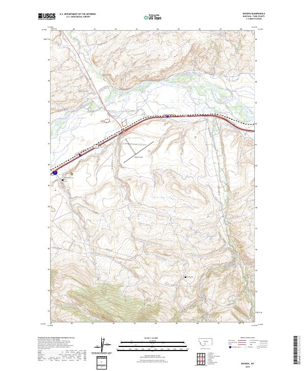
2024 Map of Mission
USGS Topo · Published 2024About this map
The Yellowstone River and Shields River converge in this northern Park County landscape, defining a valley carved by glacial activity and irrigation history. Modern infrastructure like Mission Field and Interstate 90 overlays a deeper human geography, including the Park County Poor Farm and its associated Park County Poor Farm Cem. This area preserves a legacy of institutional social history alongside agricultural development, evidenced by an extensive network of waterworks such as Vallis Ditch, Palmer Ditch, and Big Mission Ditch.
Find a feature on this map
36 named features on this map. Tap any name to fly to it.
Don’t see what you’re looking for? This feature index may not catch every label — zoom into the map to look around manually.
Map Details
Editions of this 2024 Mission Map
This is the sole edition of this map. No revisions or reprints were ever made.
Other maps of this area

1891 · Livingston
USGS Topo · 1:250,000

1893 · Livingston
USGS Topo · 1:250,000

1947 · Bozeman
USGS Topo · 1:250,000

1948 · Bozeman
USGS Topo · 1:250,000

1951 · Mount Rae
USGS Topo · 1:24,000

1951 · Chadborn
USGS Topo · 1:24,000

1951 · Grannis
USGS Topo · 1:24,000

1951 · Brisbin
USGS Topo · 1:24,000

1951 · Livingston Peak
USGS Topo · 1:24,000

1951 · Hunters Hot Springs
USGS Topo · 1:24,000