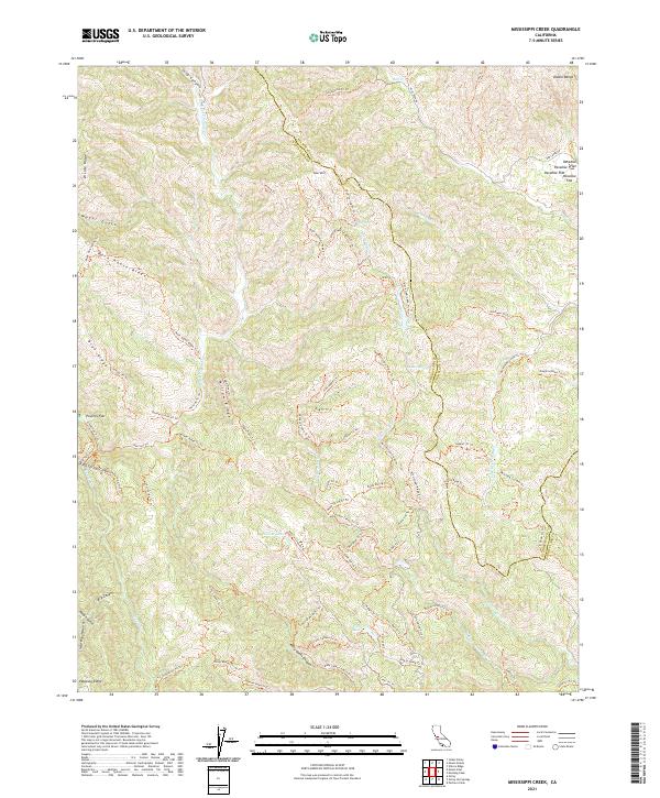
2021 Map of Mississippi Creek
USGS Topo · Published 2021About this map
The high ridges of the Diablo Range define this landscape on the border of Santa Clara and Stanislaus counties. This 2021 survey details a complex watershed where the N Fork Pacheco Cr and Coyote Cr headwaters carve through steep canyons. The terrain is marked by significant topographical landmarks such as Bear Mtn and Palassou Ridge, interspersed with high-elevation flats like Poverty Flat and Paradise Flat.
Find a feature on this map
89 named features on this map. Tap any name to fly to it.
Don’t see what you’re looking for? This feature index may not catch every label — zoom into the map to look around manually.
Map Details
Editions of this 2021 Mississippi Creek Map
This is the sole edition of this map. No revisions or reprints were ever made.
Other maps of this area

1897 · Mt. Hamilton
USGS Topo · 1:62,500

1917 · Morgan Hill
USGS Topo · 1:62,500

1921 · Gilroy Hot Springs
USGS Topo · 1:62,500

1938 · Mt. Boardman
USGS Topo · 1:62,500

1939 · Morgan Hill
USGS Topo · 1:62,500

1939 · Gilroy Hot Springs
USGS Topo · 1:62,500

1940 · Gilroy Hot Springs
USGS Topo · 1:62,500

1941 · Morgan Hill
USGS Topo · 1:62,500

1942 · Mt. Hamilton
USGS Topo · 1:62,500

1942 · Mt. Boardman
USGS Topo · 1:62,500