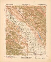
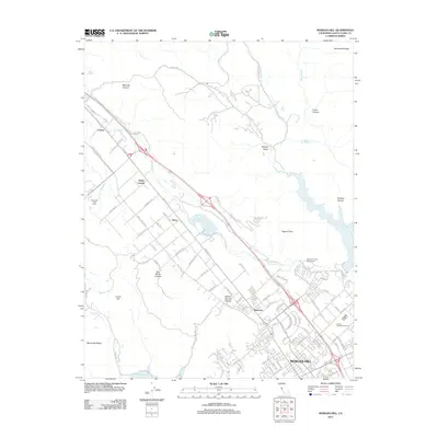
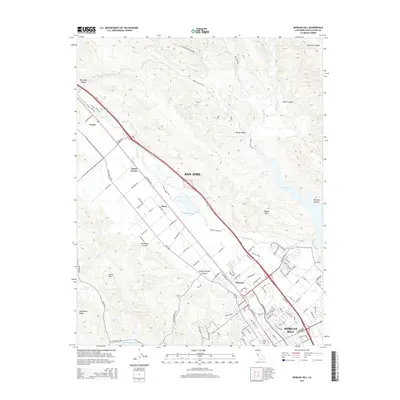
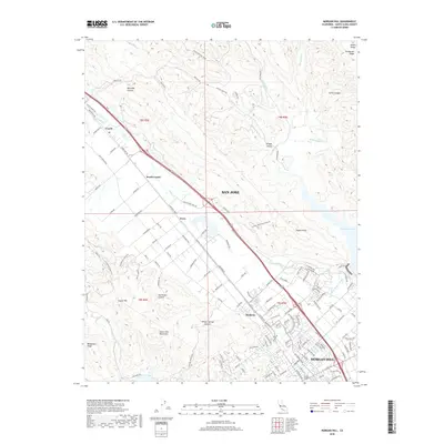
1941 Map of Morgan Hill
USGS Topo · Published 1941About this map
The Ojo de Agua de la Coche and San Francisco de las Llagas land grants anchor this pre-war survey of the Santa Clara Valley. The landscape is defined by the agricultural corridor along the Southern Pacific RR and U.S. 101, where small centers like San Martin, Madrone, and Morgan Hill flourished before post-war suburbanization. The eastern mountains remain a complex of ridges, including Blue Ridge and Pine Ridge, hiding Madrone Soda Springs and the expansive Coyote Reservoir.
Find a feature on this map
99 named features on this map. Tap any name to fly to it.
Don’t see what you’re looking for? This feature index may not catch every label — zoom into the map to look around manually.
Map Details
Editions of this 1941 Morgan Hill Map
This is the sole edition of this map. No revisions or reprints were ever made.
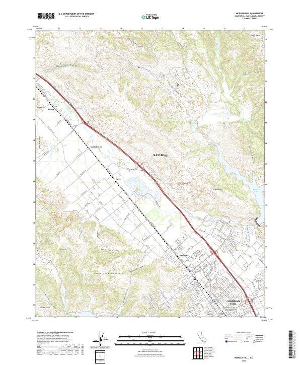
Historical Maps of San Jose Through Time
8 maps found
1917 Morgan Hill
Santa Clara County, CA
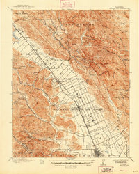
1939 Morgan Hill
Santa Clara County, CA
1941 Morgan Hill
Santa Clara County, CA
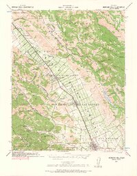
1955 Morgan Hill
Santa Clara County, CA
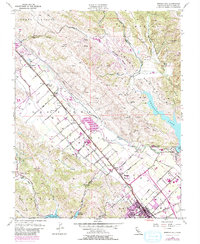
2012 Morgan Hill
Santa Clara County, CA
2015 Morgan Hill
Santa Clara County, CA
2018 Morgan Hill
Santa Clara County, CA
2021 Morgan Hill
Santa Clara County, CA