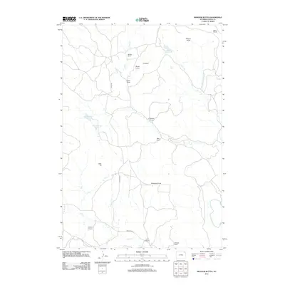
2012 Map of Missouri Buttes
USGS Topo · Published 2012About this map
Missouri Buttes dominate the northeastern corner of this Crook County landscape, serving as a primary landmark for the surrounding drainage basins. This 2012 survey illustrates a topography defined by complex water management and natural catchments, including Basin Reservoir Number 1 and Basin Reservoir Number 2 in the west, and Missouri Buttes Lake to the east. The terrain is deeply incised by numerous canyons and draws that guide seasonal runoff toward the Belle Fourche River.
Find a feature on this map
28 named features on this map. Tap any name to fly to it.
Don’t see what you’re looking for? This feature index may not catch every label — zoom into the map to look around manually.
Map Details
Editions of this 2012 Missouri Buttes Map
This is the sole edition of this map. No revisions or reprints were ever made.
Other maps of this area

1905 · Devils Tower
USGS Topo · 1:125,000

1918 · Moorcroft
USGS Topo · 1:125,000

1918 · Moorcroft
USGS Topo · 1:62,500

1954 · Sunny Divide
USGS Topo · 1:24,000

1954 · Storm Hill
USGS Topo · 1:24,000

1954 · Carlile
USGS Topo · 1:24,000

1954 · Missouri Buttes
USGS Topo · 1:24,000

1954 · Gillette
USGS Topo · 1:250,000

1955 · Devils Tower
USGS Topo · 1:62,500

1955 · Gillette
USGS Topo · 1:250,000