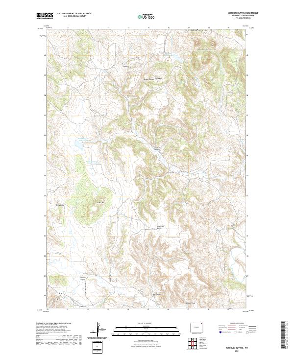
2021 Map of Missouri Buttes
USGS Topo · Published 2021About this map
Missouri Buttes dominate the skyline in this portion of Crook County, standing as a prominent landmark near Butte Divide in the north. The landscape is a complex network of drainage systems and high ridges, where features like Hell Hole and The Basin suggest the varied and difficult terrain found throughout the quadrangle. Water resources are central to the geography here, with Basin Reservoir Number One and Basin Reservoir Number Two providing critical catchment in an otherwise arid landscape. In the southeast, the Belle Fourche River cuts through the territory, while livestock and ranching infrastructure is hinted at by the numerous named draws and canyons, such as Sawmill Canyon and Brosa Draw. The presence of Missouri Buttes Lake and various creeks like Lake Cr further define the local hydrology of this high-plains environment.
Find a feature on this map
33 named features on this map. Tap any name to fly to it.
Don’t see what you’re looking for? This feature index may not catch every label — zoom into the map to look around manually.
Map Details
Editions of this 2021 Missouri Buttes Map
This is the sole edition of this map. No revisions or reprints were ever made.
Other maps of this area

1905 · Devils Tower
USGS Topo · 1:125,000

1918 · Moorcroft
USGS Topo · 1:125,000

1918 · Moorcroft
USGS Topo · 1:62,500

1954 · Sunny Divide
USGS Topo · 1:24,000

1954 · Storm Hill
USGS Topo · 1:24,000

1954 · Carlile
USGS Topo · 1:24,000

1954 · Missouri Buttes
USGS Topo · 1:24,000

1954 · Gillette
USGS Topo · 1:250,000

1955 · Devils Tower
USGS Topo · 1:62,500

1955 · Gillette
USGS Topo · 1:250,000